
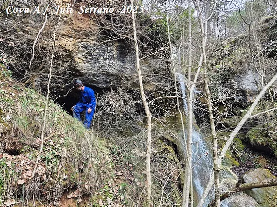
Coves de l'Aigua de Caselles
Small but pretty caves at the Rec de la Rovira or de Caselles, in Les Llosses: cave-A, 11 metres long, and cave-B, 7 metres deep, one on each side of the waterfall.
EspeleoWorld
Coves de l'Aigua de Caselles
Small but pretty caves at the Rec de la Rovira or de Caselles, in Les Llosses: cave-A, 11 metres long, and cave-B, 7 metres deep, one on each side of the waterfall.
Llosses, Les · Ripollès
Sviluppo: 11 m · Profondità: 1 m
Scheda aggiornata
https://espeleoworld.com/it/c/coves-de-l-aigua-de-caselles
Le informazioni possono cambiare. Verifica sempre coordinate, accesso, meteo e condizioni della cavità prima di partire.
Small but pretty caves at the Rec de la Rovira or de Caselles, in Les Llosses: cave-A, 11 metres long, and cave-B, 7 metres deep, one on each side of the waterfall.
Topografia
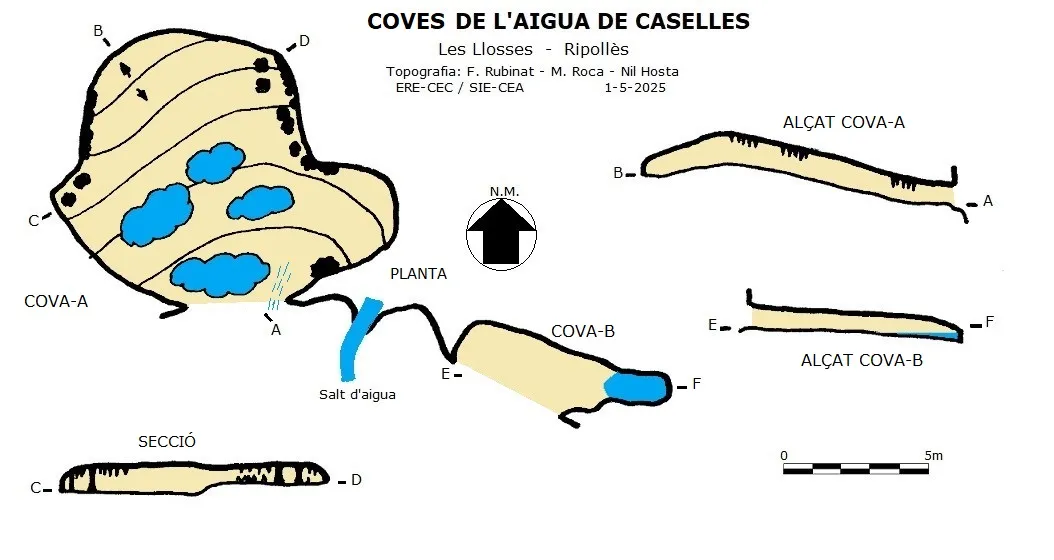

Espeleoindex · CC BY-NC 4.0, https://creativecommons.org/licenses/by-nc/4.0/ · Immagine © del suo autore.
Foto

Espeleoindex · CC BY-NC 4.0, https://creativecommons.org/licenses/by-nc/4.0/ · Immagine © del suo autore.
Descrizione
Morfologia
They are two small caves located one on each side of the waterfall. The larger one (cave-A) is on the hydrographic right bank of the stream, is 11 metres long and about as wide; inside, the ceiling is low. On the other side of the waterfall, on the left bank of the stream and in the same stratum, we find cave-B, 7 metres deep.
Concrezioni
Inside cave-A the ceiling is low but it is quite decorated with concretions, with several gours. Cave-B does not have as much formation as the former.
Idrologia
Cave-A has a good supply of water that filters from the nearby stream. At the bottom of cave-B we find a pool of water.
Progressione
We will go up along the hydrographic right bank of the Rec for 130 metres and go down to the Rec at the point where the waterfall is, where the caves are found one on each side of the waterfall.
Storia
Located by Nil Hosta Ferrer at the beginning of 2025. The cavity must have been known in the area since a water collection pipe comes out of the interior of the cave and is currently completely calcified and useless.
Commenti degli utenti (0)
Nessun commento ancora.
Sii il primo a condividere la tua esperienza!
Esplorazioni registrate (0)
Nessuna esplorazione registrata.
Registra la tua visita a questa grotta!
Bibliografia
Coordenades, situació, dades, topografia i fotos facilitades per Nil Hosta Ferrer; Juli Serrano i Montse Roca (SIE-CEA) Arcadia Cabanas i Francesc Rubinat (ERE-CEC). Maig de 2025.
Grotte vicine
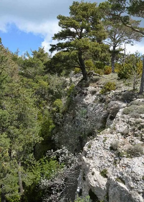
Escletxa Gran de Corrubí
0.7 km · NO
Llosses, Les (Ripollès)
2 topo.4 foto
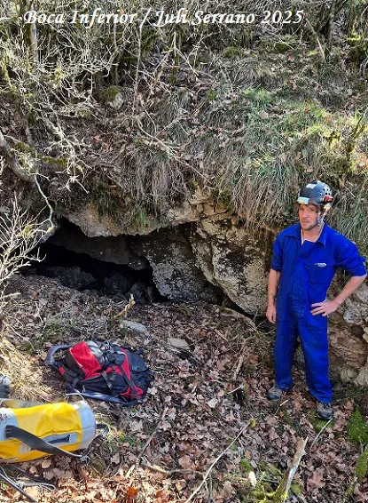
Cova d'en Nil de la Riba
0.9 km · E
Llosses, Les (Ripollès)
1 topo.11 foto
Avenc de l'escletxa Petita de Corrubí
0.9 km · N
Llosses, Les (Ripollès)
2 topo.3 foto
Esquerda Nº1 del Clot de l'infern
1.0 km · NE
Llosses, Les (Ripollès)
1 topo.9 foto
Fonte: Espeleoindex (espeleoindex.com), modificato. CC BY-NC 4.0, https://creativecommons.org/licenses/by-nc/4.0/