
Cova Nº2 de Bestral
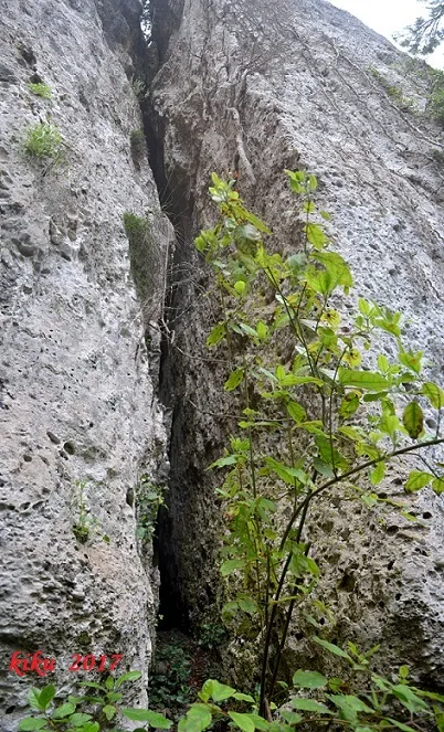
A 37-metre-long cave in Margalef (Montsant), a narrow, winding fissure with a height of about 15 metres.
EspeleoWorld
Cova Nº2 de Bestral
A 37-metre-long cave in Margalef (Montsant), a narrow, winding fissure with a height of about 15 metres.
Margalef · Priorat
Sviluppo: 37 m
Scheda aggiornata
https://espeleoworld.com/it/c/cova-n-2-de-bestral
Le informazioni possono cambiare. Verifica sempre coordinate, accesso, meteo e condizioni della cavità prima di partire.
A 37-metre-long cave in Margalef (Montsant), a narrow, winding fissure with a height of about 15 metres.
Topografia
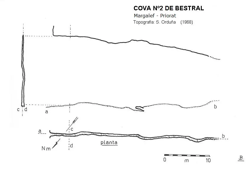
Espeleoindex · CC BY-NC 4.0, https://creativecommons.org/licenses/by-nc/4.0/ · Immagine © del suo autore.
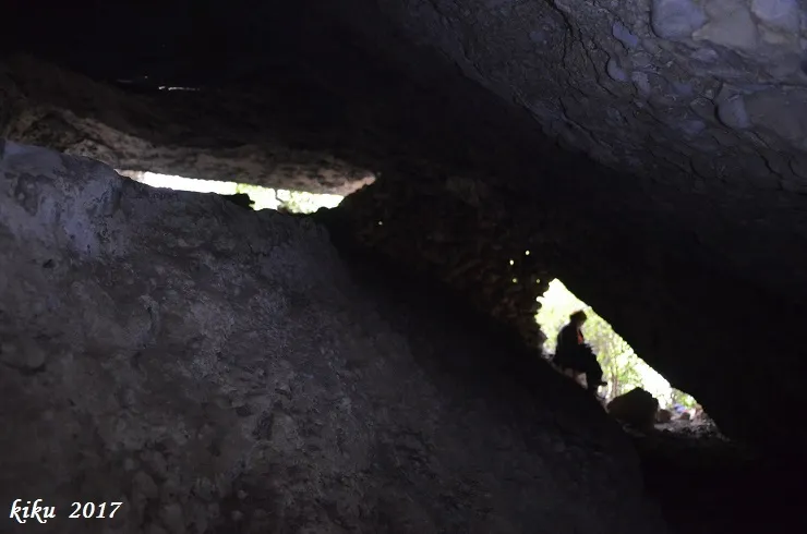
Foto
Espeleoindex · CC BY-NC 4.0, https://creativecommons.org/licenses/by-nc/4.0/ · Immagine © del suo autore.
Descrizione
Morfologia
It is a fissure with an average width that does not reach one metre and with a height of about 15 metres. The plan is winding, with rises and falls along 37 metres of passage.
Storia
Explored in 1968 by the SIRE-UEC de SANTS.
Commenti degli utenti (0)
Nessun commento ancora.
Sii il primo a condividere la tua esperienza!
Esplorazioni registrate (0)
Nessuna esplorazione registrata.
Registra la tua visita a questa grotta!
Bibliografia
- Borrás, J.; Miñarro, J.M.; Talavera, F.(1984).-”el baix camp, el priorat i la ribera d'ebre”. Catàleg Espeleològic de Catalunya (vol.7): 175-177 . Ed. Políglota. Barcelona.
- Actualització de coordenades situació i fotografies, abril de 2017 per l'equip d'espeleoíndex.
Grotte vicine
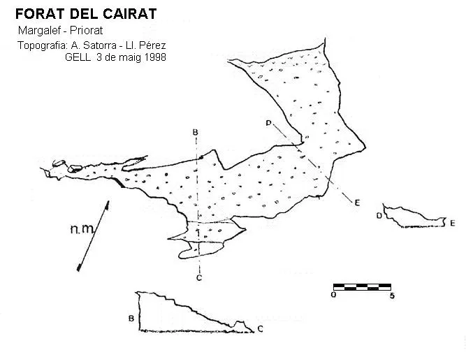


Fonte: Espeleoindex (espeleoindex.com), modificato. CC BY-NC 4.0, https://creativecommons.org/licenses/by-nc/4.0/