
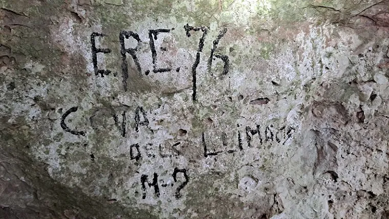
Cova dels Llimacs
Small cave with a 10 m passage in Sant Llorenç del Munt, very difficult to locate, with a single 10.5 m gallery that ends choked by a stalactitic flow.
EspeleoWorld
Cova dels Llimacs
Small cave with a 10 m passage in Sant Llorenç del Munt, very difficult to locate, with a single 10.5 m gallery that ends choked by a stalactitic flow.
Sant Llorenç Savall · Vallès Occidental
Sviluppo: 10 m · Profondità: 1 m
Scheda aggiornata
https://espeleoworld.com/it/c/cova-dels-llimacs
Le informazioni possono cambiare. Verifica sempre coordinate, accesso, meteo e condizioni della cavità prima di partire.
Small cave with a 10 m passage in Sant Llorenç del Munt, very difficult to locate, with a single 10.5 m gallery that ends choked by a stalactitic flow.
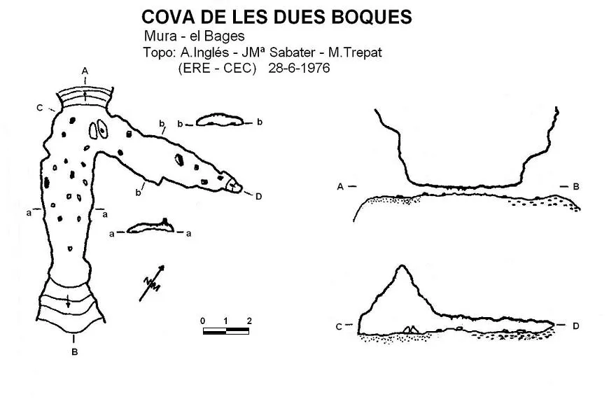
Topografia
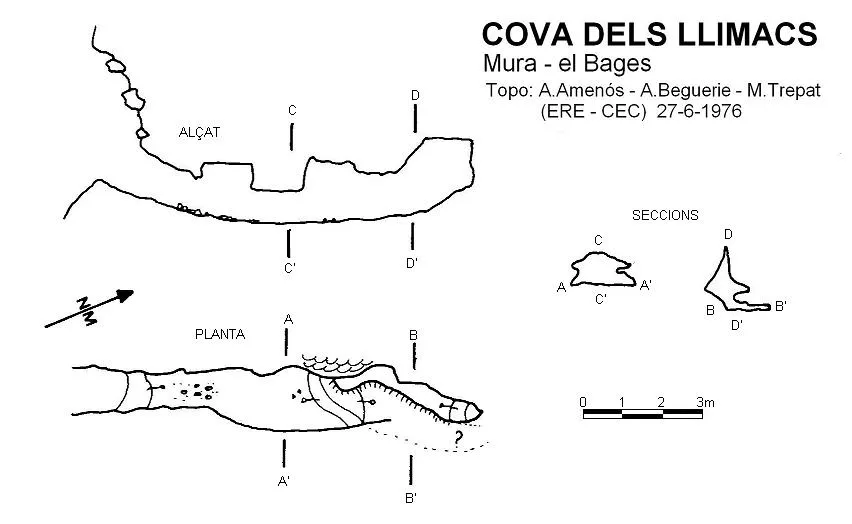
Espeleoindex · CC BY-NC 4.0, https://creativecommons.org/licenses/by-nc/4.0/ · Immagine © del suo autore.
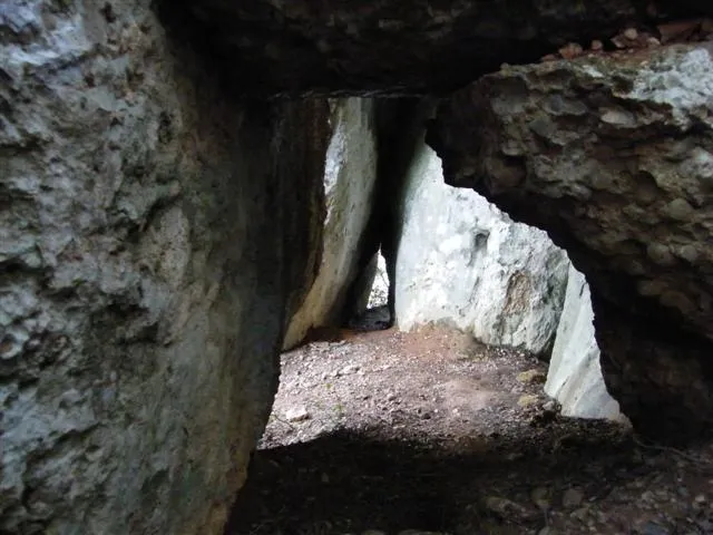
Foto
Espeleoindex · CC BY-NC 4.0, https://creativecommons.org/licenses/by-nc/4.0/ · Immagine © del suo autore.
Descrizione
Morfologia
Entrance about 4 metres high by 1.7 wide. Single gallery of 10.5 metres that ends choked by a stalactitic flow.
Concrezioni
The only notable limestone formation is on our right (which recalls the oca de la Simanya), and a block fallen from the ceiling and concretioned, right in the middle.
Progressione
As soon as we are at the top of the entrance, we descend gently and soon we will have to crouch down to pass beside the only notable limestone formation on our right, and a block fallen from the ceiling and concretioned, right in the middle. To reach the end of the single gallery it will be necessary to advance lying flat.
Storia
The only reference we have is that given by members of the ERE – CEC who explored it in June 1976.
On the map of Sant Llorenç del Munt published by the Centre Excursionista de Terrassa in 1987 it locates the cavity, but this is erroneous since it is really the Cova de la Vall. This confusion was resolved years later by the colleague Jordi Guillemot (SIS-CET).
Commenti degli utenti (0)
Nessun commento ancora.
Sii il primo a condividere la tua esperienza!
Esplorazioni registrate (0)
Nessuna esplorazione registrata.
Registra la tua visita a questa grotta!
Bibliografia
- Trepat, M. (1978).- “Novetats al turó del Montcau” Espeleòleg (26-27): 471- 480. ERE del Centre Excursionista de Barcelona. Barcelona.
- Topografia extreta del web: elcaudelguille.net (Jordi Guillemot; SIS - CET)
- Actualització de dades, coordenades i fotografies facilitades per Josep Guarro i J.C. Juderias (agost 2022).
Grotte vicine
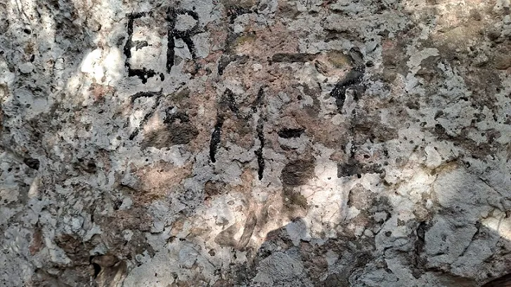
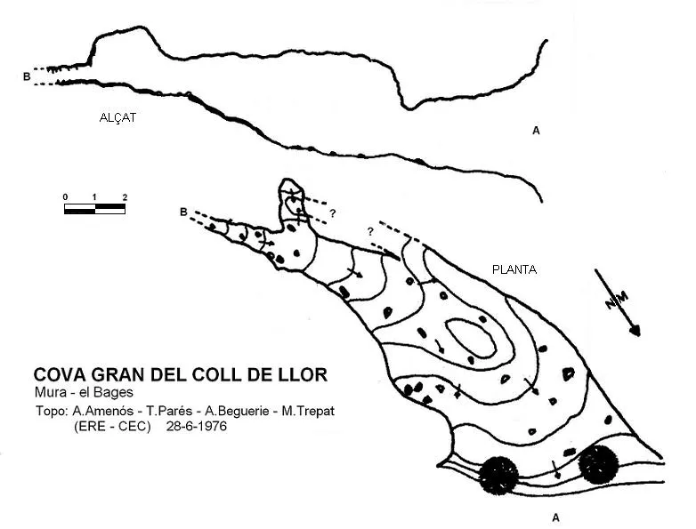


Fonte: Espeleoindex (espeleoindex.com), modificato. CC BY-NC 4.0, https://creativecommons.org/licenses/by-nc/4.0/