
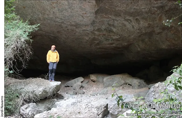
Cova de la Bruixa
A wide cave in the Barranc de la Bruixa (Montsant), with a mouth some 40 m long, formed by a meander in the streambed of the ravine.
EspeleoWorld
Cova de la Bruixa
A wide cave in the Barranc de la Bruixa (Montsant), with a mouth some 40 m long, formed by a meander in the streambed of the ravine.
Morera de Montsant, La · Priorat
Sviluppo: 23 m · Profondità: 2 m
Scheda aggiornata
https://espeleoworld.com/it/c/cova-de-la-bruixa-morera-de-montsant
Le informazioni possono cambiare. Verifica sempre coordinate, accesso, meteo e condizioni della cavità prima di partire.
A wide cave in the Barranc de la Bruixa (Montsant), with a mouth some 40 m long, formed by a meander in the streambed of the ravine.
Topografia
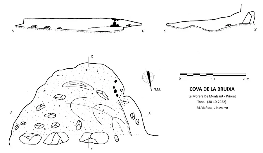

Espeleoindex · CC BY-NC 4.0, https://creativecommons.org/licenses/by-nc/4.0/ · Immagine © del suo autore.
Foto

Espeleoindex · CC BY-NC 4.0, https://creativecommons.org/licenses/by-nc/4.0/ · Immagine © del suo autore.
Descrizione
Morfologia
Wide cave with a mouth some 40 m long, formed by a meander in the streambed of the ravine.
The extensive mouth is partly covered by three large fallen blocks that limit the access points to the cave.
Concrezioni
In the inner SW zone of the cave there is a set of flowstone and column formations that enclose a small, beautifully decorated chamber.
Idrologia
The water of the ravine enters at the E end in a small waterfall and makes the meander that crosses the whole cavity, initially between large blocks and then exits outside in an area of gravel and sand at its W end.
Storia
Cavity known since remote times and mentioned in the maps and guides of Montsant, although not always well referenced.
At the end of October 2022 Montse Mañosa and Jordi Navarro (CE Castellar) carry out the survey and cataloguing work.
Commenti degli utenti (0)
Nessun commento ancora.
Sii il primo a condividere la tua esperienza!
Esplorazioni registrate (0)
Nessuna esplorazione registrata.
Registra la tua visita a questa grotta!
Bibliografia
- Borrás, J.; Miñarro, J.M.; Talavera, F.(1984).-”el Baix Camp, el Priorat i la Ribera d'Ebre”. Catàleg Espeleològic de Catalunya (vol.7). Ed. Políglota. Barcelona.
- Totes les dades, topografia i fotografies han estat extretes del blog: cavitatsdecatalunya.blogspot (de Jordi de Valles). Apunt del 5-1-2023. Dades: Montse Mañosa i Jordi Navarro (Centre Excursionista de Castellar del Vallès).
Grotte vicine
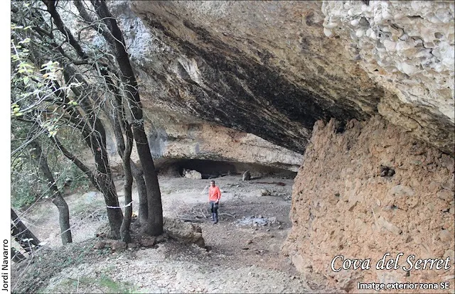
Cova del Serret
0.3 km · E
Morera de Montsant, La (Priorat)
1 topo.4 foto
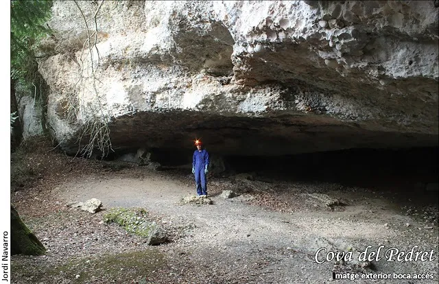
Cova del Pedret
0.4 km · SE
Morera de Montsant, La (Priorat)
1 topo.4 foto
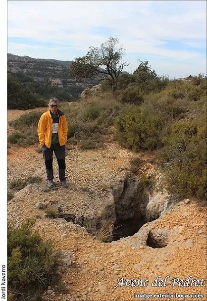
Avenc del Pedret
0.5 km · S
Morera de Montsant, La (Priorat)
3 topo.4 foto

Cova de l'Abelló
0.5 km · E
Morera de Montsant, La (Priorat)
1 topo.4 foto
Fonte: Espeleoindex (espeleoindex.com), modificato. CC BY-NC 4.0, https://creativecommons.org/licenses/by-nc/4.0/