
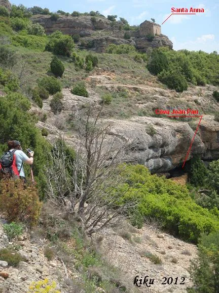
Cova de Joan Pau
Large worked rock shelter with a 17-metre route in the Comiols area, Isona i Conca Dellà, with several inner chambers on the E side.
EspeleoWorld
Cova de Joan Pau
Large worked rock shelter with a 17-metre route in the Comiols area, Isona i Conca Dellà, with several inner chambers on the E side.
Isona i Conca Dellà · Pallars Jussà
Sviluppo: 17 m · Profondità: 1 m
Scheda aggiornata
https://espeleoworld.com/it/c/cova-de-joan-pau
Le informazioni possono cambiare. Verifica sempre coordinate, accesso, meteo e condizioni della cavità prima di partire.
Large worked rock shelter with a 17-metre route in the Comiols area, Isona i Conca Dellà, with several inner chambers on the E side.
Topografia
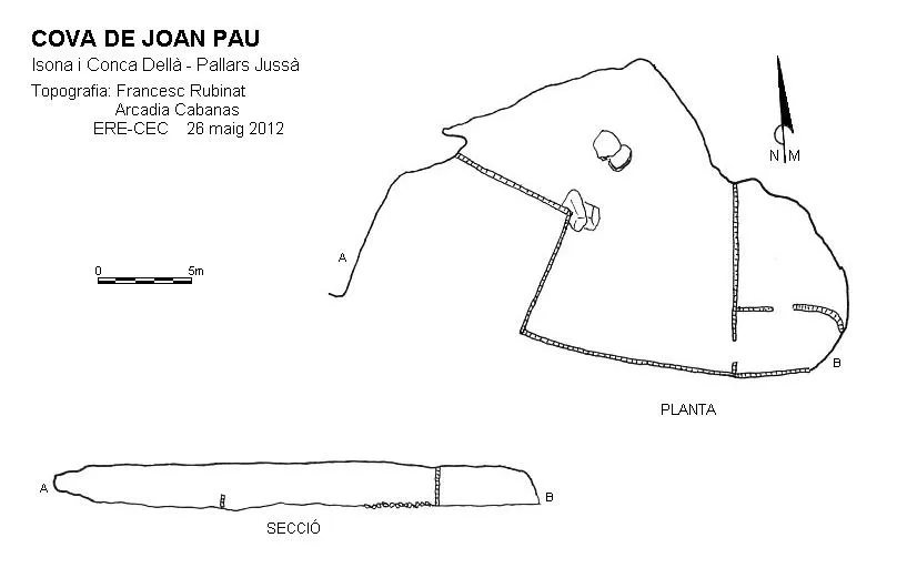

Espeleoindex · CC BY-NC 4.0, https://creativecommons.org/licenses/by-nc/4.0/ · Immagine © del suo autore.
Foto

Espeleoindex · CC BY-NC 4.0, https://creativecommons.org/licenses/by-nc/4.0/ · Immagine © del suo autore.
Descrizione
Morfologia
It is a large worked rock shelter, with several chambers inside it located on the E side. It has a mouth-to-back route of 17.50 metres and an average height of 2.50 metres.
Storia
Cave used and known in the area since prehistoric times. The first speleological mention of the cavity was made by Manuel Cortés in the book “El Montsec i Muntanyes veïnes (1984)”.
Both the Institut Cartogràfic de Catalunya and the official gazetteer of toponymy of Catalonia cite this cavity under the name “cova de Montadó de Baix”, but they wrongly place it in the municipality of Vilanova de Meià and in the comarca of Noguera.
We also have evidence of a reference about this cave in which it is cited under the name “cova de Jaume Alpau”; we do not know where this designation comes from.
Commenti degli utenti (0)
Nessun commento ancora.
Sii il primo a condividere la tua esperienza!
Esplorazioni registrate (0)
Nessuna esplorazione registrata.
Registra la tua visita a questa grotta!
Bibliografia
- Cortés i Ribelles, Manuel.(1984).- El Montsec i Muntanyes Veïnes. Centre Excursionista de Lleida.
Grotte vicine
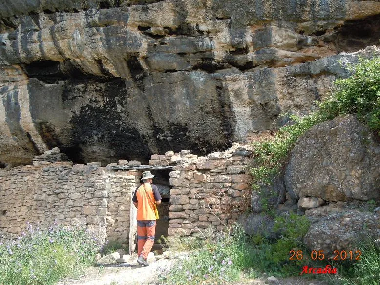
Cova de Montadó
0.1 km · NO
Isona i Conca Dellà (Pallars Jussà)
1 topo.7 foto
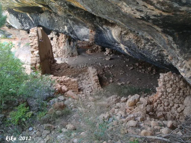
Balmes de Gramenet
0.3 km · S
Isona i Conca Dellà (Pallars Jussà)
1 topo.9 foto
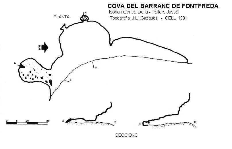
Cova del Barranc de Fontfreda
0.4 km · E
Isona i Conca Dellà (Pallars Jussà)
1 topo.
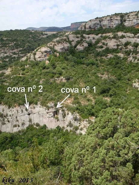
Cova Nº1 de la Font Freda
1.0 km · S
Isona i Conca Dellà (Pallars Jussà)
1 topo.8 foto
Fonte: Espeleoindex (espeleoindex.com), modificato. CC BY-NC 4.0, https://creativecommons.org/licenses/by-nc/4.0/