
Cova-avenc de l'Estorac
A cavity 40 m deep in the El Port massif, accessed via a doline and a gallery with stalactitic formations.
EspeleoWorld
Cova-avenc de l'Estorac
A cavity 40 m deep in the El Port massif, accessed via a doline and a gallery with stalactitic formations.
Tortosa · Baix Ebre
Sviluppo: 87 m · Profondità: 40 m
Scheda aggiornata
https://espeleoworld.com/it/c/cova-avenc-de-l-estorac
Le informazioni possono cambiare. Verifica sempre coordinate, accesso, meteo e condizioni della cavità prima di partire.
A cavity 40 m deep in the El Port massif, accessed via a doline and a gallery with stalactitic formations.
Topografia
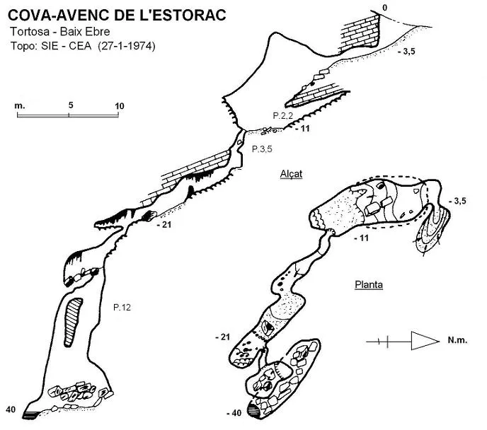
Espeleoindex · CC BY-NC 4.0, https://creativecommons.org/licenses/by-nc/4.0/ · Immagine © del suo autore.
Descrizione
Morfologia
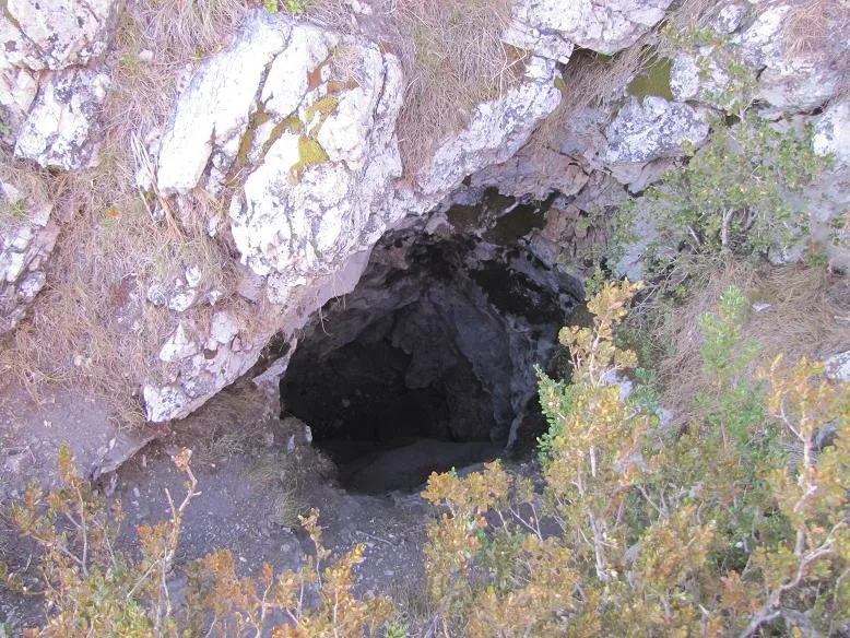
Access is via a doline that originally appeared as an asymmetric trench 2 metres wide and 5 metres long, oriented WNW-ESE, with a clear structural influence. At the eastern end a gentle slope leads to the – 3.5 level where a narrow opening at ground level gives way to the subterranean part. The connecting crawl, after about 5 metres of dragging, leads to a small chamber 12 x 5 metres with a maximum height of 10 metres, which represents, volumetrically, the largest chamber of the cavity, being subdivided by an intermediate step of 2 metres, beneath which a lower floor develops. At the deepest point of the small chamber (- 11), a small hole in the floor (its passage being quite selective), descends 3.5 metres in an irregular manner and with wedged blocks that hinder passage. At its bottom a gallery of progressively greater width from 1 to 2 metres develops, of meandering appearance and a length of approximately some 20 metres. Just on the eastern wall of the gallery, at floor level, another very narrow hole opens, leading to a small slope and above a step from where a small chamber 4 x 2 metres is overlooked, covered by a large quantity of blocks with evident signs of water action. Among them, in a NW direction, a pit of 12 metres opens, divided into two coalescent and connected units. The bottom of the pit (8 x 2 metres) is occupied by a considerable uncemented clastic accumulation, which allows one to squeeze between them to reach 40 metres of depth, the point of maximum penetration.
Concrezioni
This sector of the cavity is the most beautiful due to the large quantity of stalactitic formations.
Idrologia
At the bottom of the pit, at 40 metres of depth, the point of maximum penetration, the clayey impermeabilisation allows the accumulation of water, of very variable level.
Progressione
Access is via a doline. At the eastern end a gentle slope leads to the – 3.5 level where a narrow opening at ground level gives way to the subterranean part. The connecting crawl, after about 5 metres of dragging, leads to a small chamber. At the deepest point of the small chamber (- 11), a small hole in the floor descends 3.5 metres. At its bottom a gallery develops. Just on the eastern wall of the gallery, at floor level, another very narrow hole opens, leading to a small slope and above a step. Among them, in a NW direction, a pit of 12 metres opens. The bottom of the pit is occupied by an uncemented clastic accumulation, which allows one to squeeze between them to reach 40 metres of depth.
Storia
Around 1960, members of the SES – CE Puigmal (Barcelona), accompanied on many days by Mr. Cohí, a well-known excursionist from Tortosa of the time, carried out a series of campaigns in the area of Caro and Mola de Catí, exploring this cavity for the first time, although no bibliographic record remained and the only data were extracted from the unpublished archive of Emili Sabaté. As a curiosity, we present the survey that was made around 1960 and which many years ago we had the opportunity to copy. The cavity was made known later following the campaigns carried out by the SIE-CEA during the first half of the 1970s.
Commenti degli utenti (0)
Nessun commento ancora.
Sii il primo a condividere la tua esperienza!
Esplorazioni registrate (0)
Nessuna esplorazione registrata.
Registra la tua visita a questa grotta!
Bibliografia
- SIE (1978).- “Contribució al coneixement espeleològic dels Ports del Caro (Baix Ebre) (IV): La Mola de Catí i el Mont Caro”. EspeleoSie (21): 27-70. SIE-CE Àliga. Barcelona.
- Revisió de coordenades i actualització dades de localització facilitades per Julio Serrano (SIE - CEA)
Grotte vicine
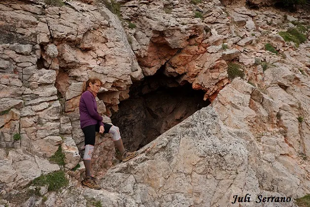
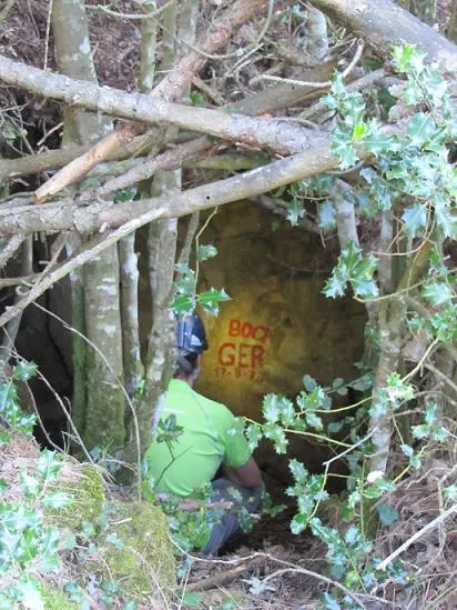
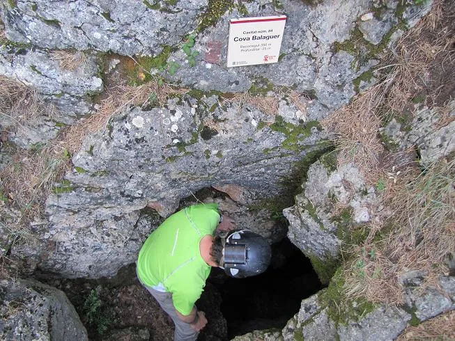

Fonte: Espeleoindex (espeleoindex.com), modificato. CC BY-NC 4.0, https://creativecommons.org/licenses/by-nc/4.0/