
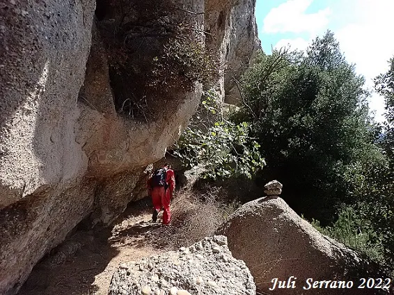
Cova Alçada
Small cave with a route of 11 metres at Coll d'Ases (Gallifa), formed by a single gallery with a steep slope.
EspeleoWorld
Cova Alçada
Small cave with a route of 11 metres at Coll d'Ases (Gallifa), formed by a single gallery with a steep slope.
Gallifa · Vallès Occidental
Sviluppo: 11 m · Profondità: 3 m
Scheda aggiornata
https://espeleoworld.com/it/c/cova-alcada
Le informazioni possono cambiare. Verifica sempre coordinate, accesso, meteo e condizioni della cavità prima di partire.
Small cave with a route of 11 metres at Coll d'Ases (Gallifa), formed by a single gallery with a steep slope.
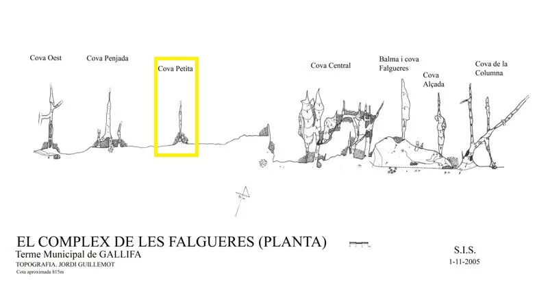
Topografia
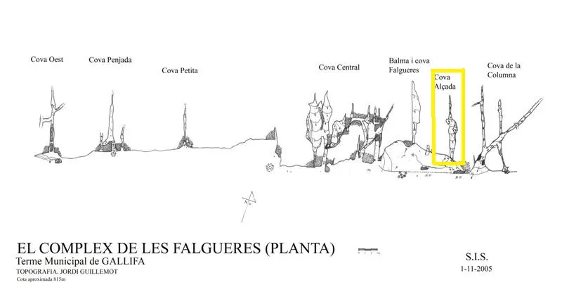
Espeleoindex · CC BY-NC 4.0, https://creativecommons.org/licenses/by-nc/4.0/ · Immagine © del suo autore.
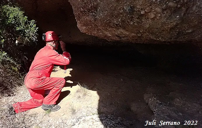
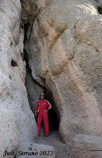
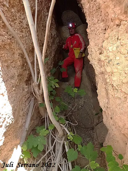
Foto
Espeleoindex · CC BY-NC 4.0, https://creativecommons.org/licenses/by-nc/4.0/ · Immagine © del suo autore.
Descrizione
Morfologia
It is formed by a single gallery with a route of 11 metres and about 4 metres in height with a steep slope.
Storia
Located by members of the SIS del CE Terrassa after the fire of the year 2003, in November 2005 Jordi Guillemot surveyed them and named them “Complex de les Falgueres” after the toponym that appears on a nearby hill and which on the Editorial Alpina map is georeferenced as Coll de les Falgueres, but on the current ICGC map this toponym does not appear anywhere.
This group of cavities is known in hiking circles as Coves de Coll d'Ases, and even the Matagalls-Montserrat route passes just below them.
Commenti degli utenti (0)
Nessun commento ancora.
Sii il primo a condividere la tua esperienza!
Esplorazioni registrate (0)
Nessuna esplorazione registrata.
Registra la tua visita a questa grotta!
Bibliografia
- Guillemot, Jordi (2007).-”Dos regals del bosc cremat: el complex de les Falgueres i la cova de Salallassera”. VI Trobada d'estudiosos de Sant llorenç del Munt i l'Obac. pp.249-252. Diputació de Barcelona.
- Dades, coordenades i fotografia facilitades per Juli Serrano (SIE-CEA) i Francesc Rubinat (ERE-CEC), agost de 2022.
Grotte vicine


Fonte: Espeleoindex (espeleoindex.com), modificato. CC BY-NC 4.0, https://creativecommons.org/licenses/by-nc/4.0/