
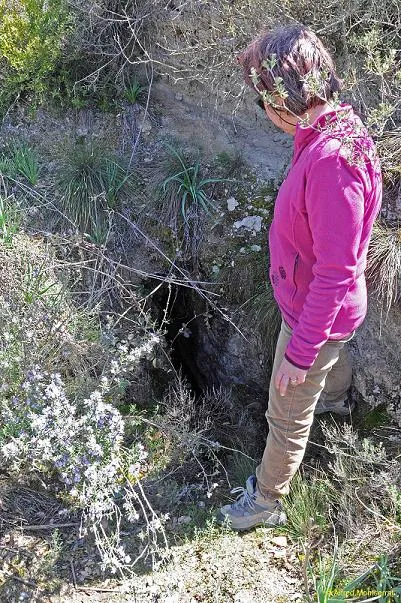
Cau de Mossèn Benet
A 76-metre-long cave in Oliola, with a route that descends to -6 metres and was explored by the SIE del CEA in 1971.
EspeleoWorld
Cau de Mossèn Benet
A 76-metre-long cave in Oliola, with a route that descends to -6 metres and was explored by the SIE del CEA in 1971.
Oliola · Noguera
Sviluppo: 76 m · Profondità: 6 m
Scheda aggiornata
https://espeleoworld.com/it/c/cau-de-mossen-benet
Le informazioni possono cambiare. Verifica sempre coordinate, accesso, meteo e condizioni della cavità prima di partire.
A 76-metre-long cave in Oliola, with a route that descends to -6 metres and was explored by the SIE del CEA in 1971.
Topografia
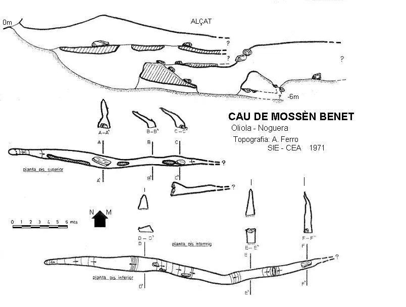
Espeleoindex · CC BY-NC 4.0, https://creativecommons.org/licenses/by-nc/4.0/ · Immagine © del suo autore.
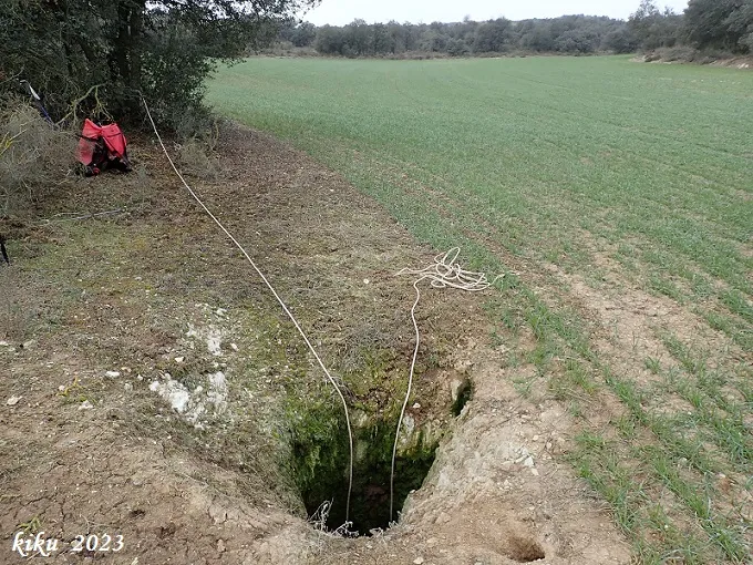
Foto
Espeleoindex · CC BY-NC 4.0, https://creativecommons.org/licenses/by-nc/4.0/ · Immagine © del suo autore.
Descrizione
Morfologia
By a steep but short slope we reach a straight gallery running W-E where the ceiling maintains an almost constant continuity. A few metres from the entrance a narrow shaft opens that communicates with the lower galleries, which are visible for about seven metres through a narrow fissure existing in the floor; finding at various points of the entrance gallery, various shafts that communicate with these galleries. Located in the first shaft described, we access a short sloping shaft that places us at a point where, once the floor is levelled, it places us at -6 metres, the point of maximum depth of the cavity.
Progressione
The route continues climbing up and down over blocks, sometimes covered by a thick layer of gypsum dust, until after about 35 metres the narrowness of the gallery prevents progression.
Storia
The name of the cavity stems from the fact that during the Carlist wars, this cave served as a hiding place for a priest with the surname Benet, who lived in the neighbouring Torre del Bru. Explored by the SIE del CEA in 1971.
Commenti degli utenti (0)
Nessun commento ancora.
Sii il primo a condividere la tua esperienza!
Esplorazioni registrate (0)
Nessuna esplorazione registrata.
Registra la tua visita a questa grotta!
Bibliografia
- Ferro i Guitart, Antonio.(1972).-“Avance al catastro del karst en yesos de la cuenca del río Llobregós”. EspeleSie (11):55-73.SIE-CE Àliga. Barcelona.
- Gàzquez i Pons, Josep Lluís.(1995).-“Catàleg Espeleològic de la Noguera”. Grallera (3-4):1-90. GELL – CE Lleida.
- Revisió coordenades i fotografies facilitades per Alfred Montserrat (ERE - CEC)
Grotte vicine
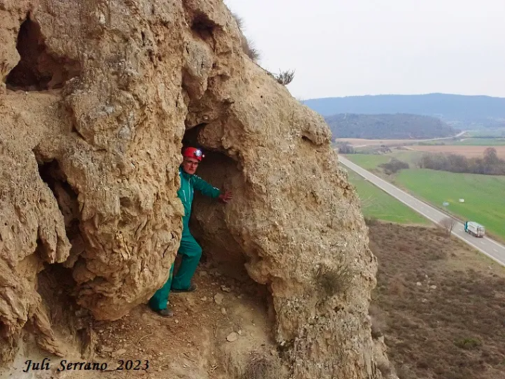
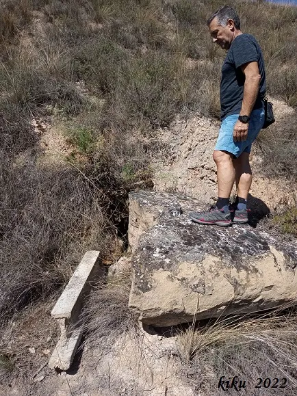


Fonte: Espeleoindex (espeleoindex.com), modificato. CC BY-NC 4.0, https://creativecommons.org/licenses/by-nc/4.0/