
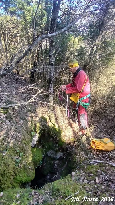
Avenc Raimundo
A 32 m deep pit NW of Vilada, located and explored in 1975 by the ERS-Centre Excursionista del Solsonès and rediscovered in 2025 by Nil Hosta Ferrer.
EspeleoWorld
Avenc Raimundo
A 32 m deep pit NW of Vilada, located and explored in 1975 by the ERS-Centre Excursionista del Solsonès and rediscovered in 2025 by Nil Hosta Ferrer.
Vilada · Berguedà
Sviluppo: 54 m · Profondità: 32 m
Scheda aggiornata
https://espeleoworld.com/it/c/avenc-raimundo
Le informazioni possono cambiare. Verifica sempre coordinate, accesso, meteo e condizioni della cavità prima di partire.
A 32 m deep pit NW of Vilada, located and explored in 1975 by the ERS-Centre Excursionista del Solsonès and rediscovered in 2025 by Nil Hosta Ferrer.
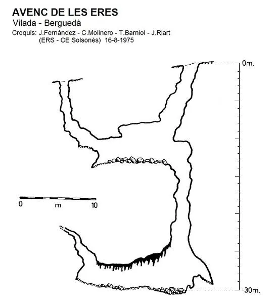
Topografia
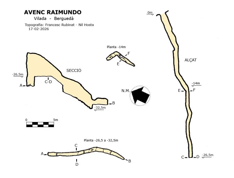
Espeleoindex · CC BY-NC 4.0, https://creativecommons.org/licenses/by-nc/4.0/ · Immagine © del suo autore.
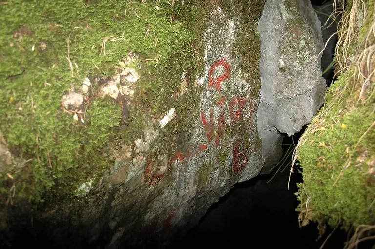
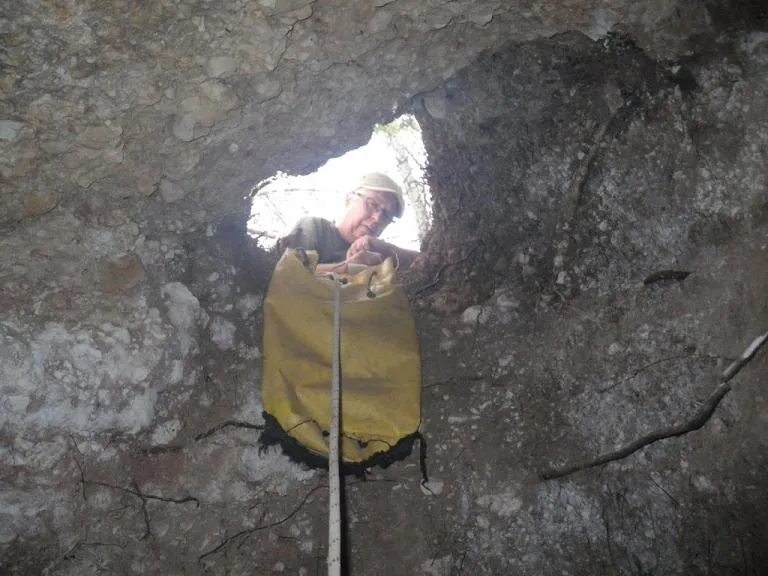
Foto
Espeleoindex · CC BY-NC 4.0, https://creativecommons.org/licenses/by-nc/4.0/ · Immagine © del suo autore.
Descrizione
Morfologia
The entrance gives access to a very steep gallery that at -6 metres meets a perpendicular and sinuous fissure that descends about 5 metres; here the wall takes on a steep inclination, ending in a floor about 6 metres long that forms an angle of almost 90 degrees. In the middle of this floor a new, very sinuous vertical opens, descending to -26.5 metres. On the NW side the gallery ends in a small pit of a couple of metres, while on the SE side the gallery descends on a slope with a small step down to the level of -32.5 metres.
Along the fissure we find some false floors formed by the accumulation of blocks wedged in the walls. The fissure has an average width of 0.65 m.
Storia
Located and explored in 1975 by members of the ERS-Centre Excursionista del Solsonès, who only contributed a sketch to the Catàleg Espeleològic de Catalunya (1980) Volume 5. No further news of the cave is had until the beginning of 2025, when Nil Hosta Ferrer located it again.
Commenti degli utenti (0)
Nessun commento ancora.
Sii il primo a condividere la tua esperienza!
Esplorazioni registrate (0)
Nessuna esplorazione registrata.
Registra la tua visita a questa grotta!
Bibliografia
Borràs,J;Miñarro,JM;Talavera,F.(1980).-'el Ripollès, la Garrotxa i l'Alt Empordà' Catàleg Espeleològic de Catalunya (vol.4):1-296. ed. Políglota. Barcelona.
Valles, Jordi de (2009).-'Berguedà, Cerdanya, Garrotxa, Ripollès'. Catàleg Espeleològic de Catalunya (vol.3):1-381. E C Gràcia/FCE.
Dades, coordenades, topografia i fotografies facilitades per Nil Hosta i Francesc Rubinat. Febrer de 2026.
Grotte vicine
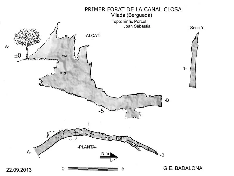


Fonte: Espeleoindex (espeleoindex.com), modificato. CC BY-NC 4.0, https://creativecommons.org/licenses/by-nc/4.0/