
Avenc del Mainer
A pit of just over 11 metres deep in la Bisbal del Penedès, with a descending gallery and a small final pit.
EspeleoWorld
Avenc del Mainer
A pit of just over 11 metres deep in la Bisbal del Penedès, with a descending gallery and a small final pit.
Bisbal del Penedès, La · Baix Penedès
Sviluppo: 22 m · Profondità: 11 m
Scheda aggiornata
https://espeleoworld.com/it/c/avenc-del-mainer
Le informazioni possono cambiare. Verifica sempre coordinate, accesso, meteo e condizioni della cavità prima di partire.
A pit of just over 11 metres deep in la Bisbal del Penedès, with a descending gallery and a small final pit.
Topografia
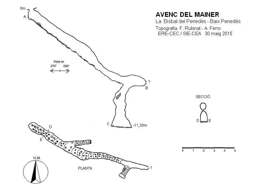

Espeleoindex · CC BY-NC 4.0, https://creativecommons.org/licenses/by-nc/4.0/ · Immagine © del suo autore.
Foto

Espeleoindex · CC BY-NC 4.0, https://creativecommons.org/licenses/by-nc/4.0/ · Immagine © del suo autore.
Descrizione
Morfologia
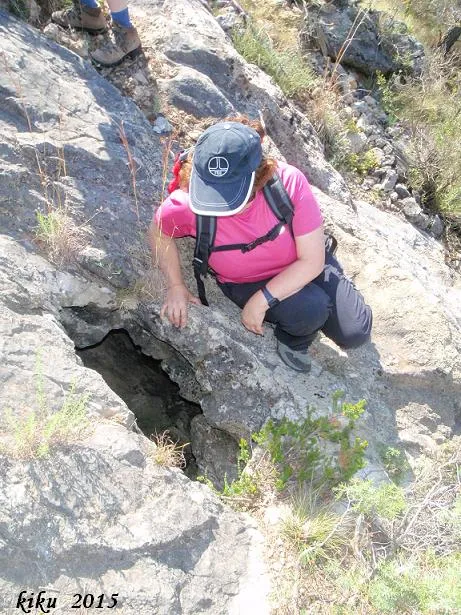
A small entrance of 0.53X0.36 metres gives access to a drop of less than one metre. At this point a descending gallery begins with approximate dimensions along most of its route of one metre wide by 1.2 metres high, becoming narrower at some point, while maintaining a constant inclination above 30º. Shortly after the start we find on the left a forced passage that ends after a few metres completely filled with stones. Reaching the end of the gallery, it changes direction, increasing the inclination to 45º, ending in a small pit of 2.6 metres that can be descended without any difficulty; the bottom is located at -11.3 metres.
Storia
Known and visited sporadically by local people, very close to the Mainer quarry, currently abandoned, we suppose that this is where its name comes from. The only reference we know of for the cavity is that it appears marked on the map of the Piolet publishing house, and cited at (www.enciclopedia.cat) under the name d'avenc del Manyer; both the pit and the quarry also appear cited on the ICGC map, but under the name del Mainer; in the Nomenclàtor Oficial de Toponímia de Catalunya the Mas del Mainer also appears in this area.
Commenti degli utenti (0)
Nessun commento ancora.
Sii il primo a condividere la tua esperienza!
Esplorazioni registrate (0)
Nessuna esplorazione registrata.
Registra la tua visita a questa grotta!
Bibliografia
- Totes les dades, topografia i fotografies, han estat aportades per col·laboradors d'espeleoíndex.
Grotte vicine
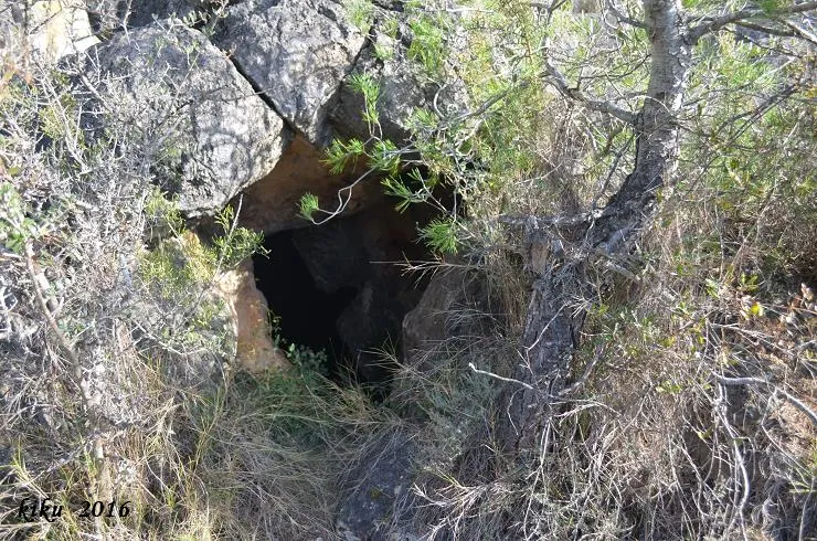
Cova del Manyé
0.0 km · O
Bisbal del Penedès, La (Baix Penedès)
1 topo.8 foto
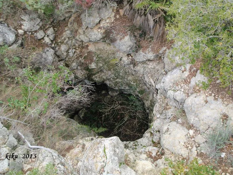
Avenc de Puig Francàs
2.0 km · NO
Montmell, El (Baix Penedès)
1 topo.7 foto
Cova Nº3 del Garriga
2.4 km · N
Montmell, El (Baix Penedès)
1 topo.3 foto
Cova Nº2 del Garriga
2.4 km · N
Montmell, El (Baix Penedès)
1 topo.5 foto
Fonte: Espeleoindex (espeleoindex.com), modificato. CC BY-NC 4.0, https://creativecommons.org/licenses/by-nc/4.0/