
Avenc del Cataplanell
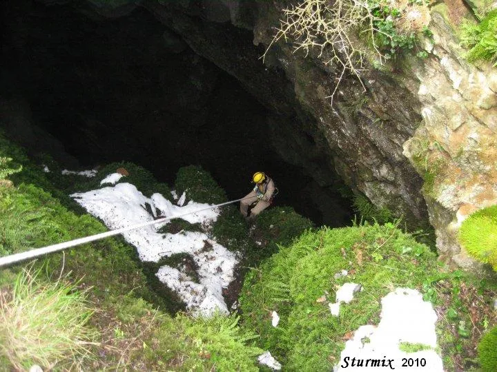
A 63-metre-deep pit in Coll de Nargó (Boumort), first explored by the SAS of the CGB on 16 January 1966.
EspeleoWorld
Avenc del Cataplanell
A 63-metre-deep pit in Coll de Nargó (Boumort), first explored by the SAS of the CGB on 16 January 1966.
Coll de Nargó · Alt Urgell
Sviluppo: 154 m · Profondità: 63 m
Scheda aggiornata
https://espeleoworld.com/it/c/avenc-del-cataplanell
Le informazioni possono cambiare. Verifica sempre coordinate, accesso, meteo e condizioni della cavità prima di partire.
A 63-metre-deep pit in Coll de Nargó (Boumort), first explored by the SAS of the CGB on 16 January 1966.
Topografia

Espeleoindex · CC BY-NC 4.0, https://creativecommons.org/licenses/by-nc/4.0/ · Immagine © del suo autore.
Foto

Espeleoindex · CC BY-NC 4.0, https://creativecommons.org/licenses/by-nc/4.0/ · Immagine © del suo autore.
Descrizione
Morfologia
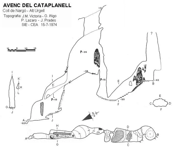
The entrance is 10X4 metres and gives access to a pit 35 metres deep, keeping the same dimensions down to -10 metres; from this point it opens about 10 metres more towards the NE, giving rise to a chamber of regular dimensions. From the base of the pit, towards the NE a steep slope leads to the head of a 15-metre pit, with plenty of mud and a rather precarious rigging. At the base, after a small step, -63 metres is reached. There is a small upper gallery parallel to this last section that ends through a window into the 15-metre pit. Back at the base of the entrance pit, if we follow towards the NW, after climbing a small step where a thick trunk rests as a bridge, we find a 15-metre-deep pit with an elliptical section, with a lot of mud on the walls and a rigging without deviations that produce a rather worrying rubbing of the rope. After passing a crawl we continue along a flat gallery that is flooded for a few metres, then it becomes a steep ascending slope that ends at -40 metres at the base of a chimney of indeterminate height. Halfway up the slope there is another chimney which we do not know whether it has been explored.
Idrologia
The base of the 15-metre-deep pit with an elliptical section, at some times, is a large pool of water. After passing a crawl, a flat gallery is flooded for a few metres.
Progressione
The first exploration was carried out by the SAS of the CGB on 16 January 1966.
Storia
The first exploration was carried out by the SAS of the CGB on 16 January 1966.
Note biospeleologiche
Speophilus fonti Jeann: 20 male specimens, collected by Lluís Auroux on 16 January 1966. 10 male specimens and 18 females collected by Oleguer Escolà on 7 February 1971.
Commenti degli utenti (0)
Nessun commento ancora.
Sii il primo a condividere la tua esperienza!
Esplorazioni registrate (0)
Nessuna esplorazione registrata.
Registra la tua visita a questa grotta!
Bibliografia
- Iñigo, G.(1976).-”Avenc del Cataplanell o de l'Obaga del Pou” Espeleosie (19):53-57. SIE-CEA. Barcelona.
- Senent, J.; Victoria, JM.(1965).-“Datos para el conocimiento espeleológico del macizo del Boumort”. Montaña (100):269-281 Centre Excursionista de Catalunya. Barcelona.
Fotografies "Sturmix" i coordenades facilitades per Jordi Salvadó.
Grotte vicine
Forat Petit de Prat Sobirà
1.2 km · O
Coll de Nargó (Alt Urgell)
2 topo.8 foto
Forat Gran de Prat Sobirà
1.2 km · O
Coll de Nargó (Alt Urgell)
1 topo.5 foto
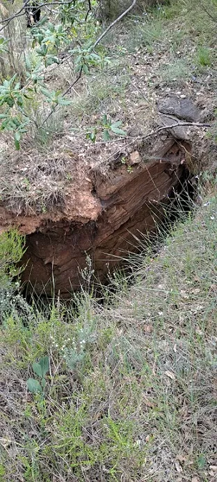
Avenc de Sant Martí
3.4 km · E
Coll de Nargó (Alt Urgell)
1 topo.5 foto
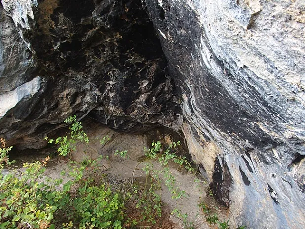
Espluga Fumada
3.8 km · NO
Coll de Nargó (Alt Urgell)
1 topo.1 foto
Fonte: Espeleoindex (espeleoindex.com), modificato. CC BY-NC 4.0, https://creativecommons.org/licenses/by-nc/4.0/