
Avenc de la Riera de Turell
Small pit 7 m deep in Castellar del Vallès, discovered and explored in the mid-1960s by cavers from Sabadell.
EspeleoWorld
Avenc de la Riera de Turell
Small pit 7 m deep in Castellar del Vallès, discovered and explored in the mid-1960s by cavers from Sabadell.
Castellar del Vallès · Vallès Occidental
Sviluppo: 25 m · Profondità: 7 m
Scheda aggiornata
https://espeleoworld.com/it/c/avenc-de-la-riera-de-turell
Le informazioni possono cambiare. Verifica sempre coordinate, accesso, meteo e condizioni della cavità prima di partire.
Small pit 7 m deep in Castellar del Vallès, discovered and explored in the mid-1960s by cavers from Sabadell.
Topografia


Espeleoindex · CC BY-NC 4.0, https://creativecommons.org/licenses/by-nc/4.0/ · Immagine © del suo autore.
Descrizione
Morfologia
The mouth, 1.50 x 0.80 metres, gives access to a 2.50-metre shaft from which two galleries start. The first, in a N direction, continues 8 metres to a step, after which a 3-metre gallery continues and becomes impassable. The second, in a NE direction, is a descending 9-metre gallery that leads us to a small chamber at the level of maximum depth (-7.5).
The cavity is formed by two joints joined at one end where the mouth opens. The first joint takes the direction N10W – S10E; the second joint, N45E – S45W, is the one that formed the sink of the subterranean course.
It should be noted that in this area of terrain the sandstone strata are less consistent than the conglomerate; this causes the sections to widen where we find sandstones and the cavity to be narrower where there is conglomerate material.
Idrologia
The first joint, in direction N10W – S10E, is the one that currently receives some water inputs and in rainy periods we can find a small pool of water.
Storia
Discovered and explored in the mid-1960s by cavers from Sabadell, very probably from the Talps del CE del Vallès.
Commenti degli utenti (0)
Nessun commento ancora.
Sii il primo a condividere la tua esperienza!
Esplorazioni registrate (0)
Nessuna esplorazione registrata.
Registra la tua visita a questa grotta!
Bibliografia
Badiella, X.; Aguirre,F.; Muñoz,J.; Mota,F. (1981).- “Les cavitats del vessant Est del riu Ripoll” SIS (8): 56-70 / Arxiu del Centre Excursionista de Terrassa (23): 296-310. SIS del CET. Terrassa.
Grotte vicine
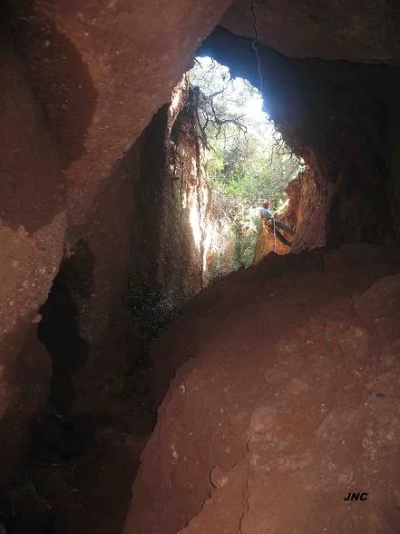
Avenc de les Dues Boques
0.6 km · NO
Castellar del Vallès (Vallès Occidental)
2 topo.4 foto
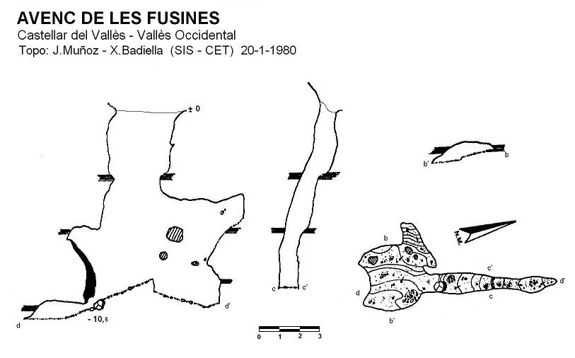
Avenc de les Fusines
0.7 km · NO
Castellar del Vallès (Vallès Occidental)
2 topo.
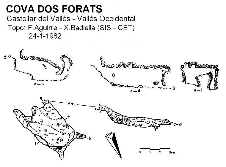
Cova Dos Forats
0.7 km · NO
Castellar del Vallès (Vallès Occidental)
1 topo.
Avenc d'Aguilar
0.8 km · N
Castellar del Vallès (Vallès Occidental)
2 topo.6 foto
Fonte: Espeleoindex (espeleoindex.com), modificato. CC BY-NC 4.0, https://creativecommons.org/licenses/by-nc/4.0/