
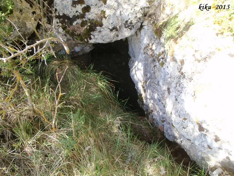
Avenc de la Ginebra
A 30-metre-deep pit in the NW of the Prats de Carreu (Coll de Nargó), located 46 metres in direction E25N from the avenc dels Rocs de l'Esteve.
EspeleoWorld
Avenc de la Ginebra
A 30-metre-deep pit in the NW of the Prats de Carreu (Coll de Nargó), located 46 metres in direction E25N from the avenc dels Rocs de l'Esteve.
Coll de Nargó · Alt Urgell
Sviluppo: 47 m · Profondità: 30 m
Scheda aggiornata
https://espeleoworld.com/it/c/avenc-de-la-ginebra
Le informazioni possono cambiare. Verifica sempre coordinate, accesso, meteo e condizioni della cavità prima di partire.
A 30-metre-deep pit in the NW of the Prats de Carreu (Coll de Nargó), located 46 metres in direction E25N from the avenc dels Rocs de l'Esteve.
Topografia
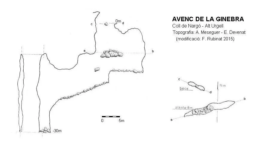

Espeleoindex · CC BY-NC 4.0, https://creativecommons.org/licenses/by-nc/4.0/ · Immagine © del suo autore.
Foto

Espeleoindex · CC BY-NC 4.0, https://creativecommons.org/licenses/by-nc/4.0/ · Immagine © del suo autore.
Descrizione
Morfologia
It is an E-W trending joint, with a maximum width of one and a half metres. The entrance is divided in two by a wedged block. At -8 metres depth a block divides the pit in two; from -13 metres a descending ramp begins and a small final pit, which reaches -30 metres depth.
Storia
The first news we have of the exploration of the cavity is that it was carried out in 1968 by members of the SAS de Centre Gimnàstic Barcelonès.
In 1993 it is located again by the ERE del CEC, although these, thinking that it was a new cavity, wrongly name it avenc de Cal Magí, we suppose because this farmhouse is the closest to the cavity. Already in 2015, this name of Cal Magí painted at the entrance had practically disappeared, being totally illegible.
Commenti degli utenti (0)
Nessun commento ancora.
Sii il primo a condividere la tua esperienza!
Esplorazioni registrate (0)
Nessuna esplorazione registrata.
Registra la tua visita a questa grotta!
Bibliografia
- Borràs, J.; Miñarro, J.M.;Talavera, F.(1978).-”alt Urgell i la Cerdanya”. Catàleg Espeleològic de Catalunya (vol.1):72. Ed. Políglota.
- Devenat, E.(1968).-”Reanudación de la serie de exploraciones en el macizo del Boumort”. Circular CGB 2ª època (8):11.
- Valles, Jordi de (2008).-”Alt Urgell, Noguera, Pla d'Urgell, Segarra, Solsonès, Urgell”. Catàleg Espeleològic de Catalunya (vol.2):1-384. ECG/FCE.
- Coordenades i fotografies facilitades per Alfred Montserrat (ERE-CEC) i l'equip d'espeleoíndex.
- Fitxa actualitzada l'abril de 2020 , topografia facilitada per Toni Inglès (ERE-CEC).
Grotte vicine
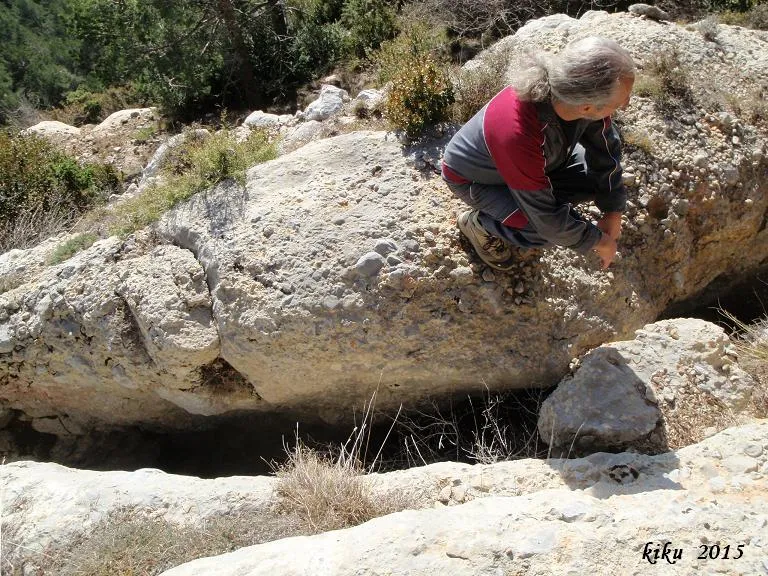
Escletxa de Cal Roi
0.0 km · SO
Coll de Nargó (Alt Urgell)
1 topo.2 foto
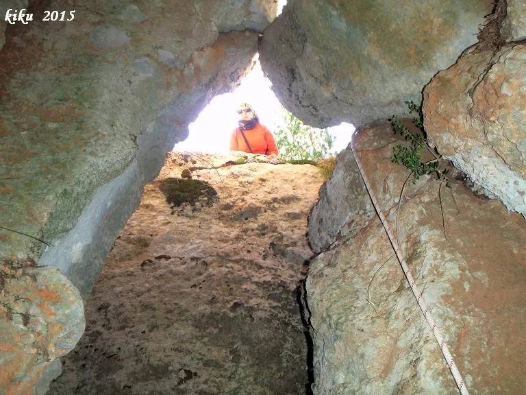
Avenc dels Rocs de l'esteve
0.0 km · SO
Coll de Nargó (Alt Urgell)
1 topo.12 foto
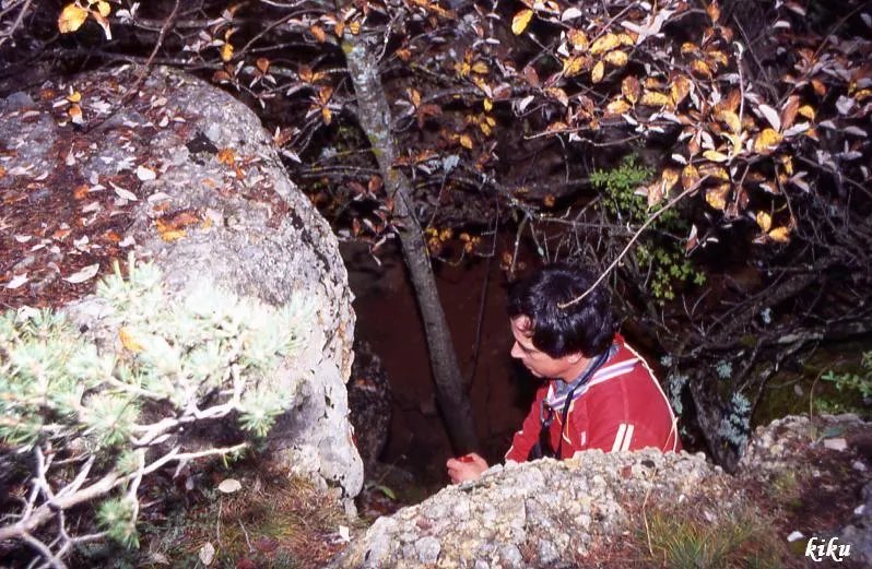
Forat dels Coms
1.0 km · O
Abella de la Conca (Pallars Jussà)
1 topo.5 foto
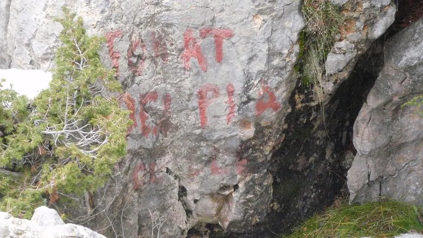
Forat del Pla de Calama
1.0 km · N
Coll de Nargó (Alt Urgell)
1 topo.3 foto
Fonte: Espeleoindex (espeleoindex.com), modificato. CC BY-NC 4.0, https://creativecommons.org/licenses/by-nc/4.0/