
Avenc de Can Pobla
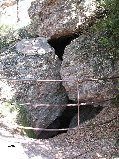
Historic 46 m deep pit in Sant Llorenç del Munt, with its entrance protected by a metal railing.
EspeleoWorld
Avenc de Can Pobla
Historic 46 m deep pit in Sant Llorenç del Munt, with its entrance protected by a metal railing.
Matadepera · Vallès Occidental
Sviluppo: 80 m · Profondità: 46 m
Scheda aggiornata
https://espeleoworld.com/it/c/avenc-de-can-pobla
Le informazioni possono cambiare. Verifica sempre coordinate, accesso, meteo e condizioni della cavità prima di partire.
Historic 46 m deep pit in Sant Llorenç del Munt, with its entrance protected by a metal railing.
Topografia
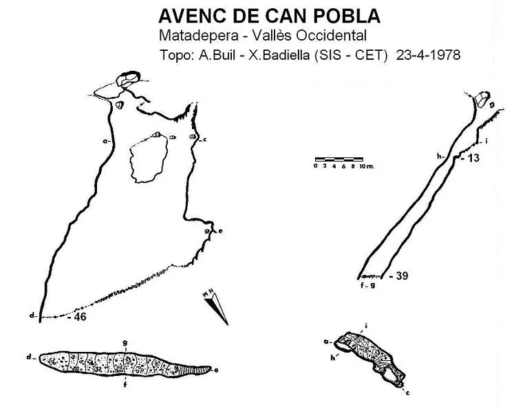

Espeleoindex · CC BY-NC 4.0, https://creativecommons.org/licenses/by-nc/4.0/ · Immagine © del suo autore.
Foto

Espeleoindex · CC BY-NC 4.0, https://creativecommons.org/licenses/by-nc/4.0/ · Immagine © del suo autore.
Descrizione
Morfologia
The entrance is covered by two large blocks, leaving a passage between them, followed by a ramp that leads to a 4 metre drop; once descended we find ourselves on a ledge and before us appears the entrance of a shaft. If we continue in a N direction we reach another shaft surrounded by flowstone that leads to the same level as the previous one. Cavity structured on a N50O – S50E joint, which thanks to water inputs has been widening the underground conduit, giving it its current form.
Concrezioni
Another shaft surrounded by flowstone; in the upper part of the inclined earth joint some flowstone from the second shaft can be seen, covering a good part of the walls on this side.
Progressione
We will descend the first shaft following a steep ramp of 60º inclination and its base is formed by an inclined earth joint. At the end of the ramp the maximum depth of 46 metres is reached.
Storia
Cited in the “Recull espeleològic” by Faura i Sans (1909) without providing any exploration data. Most likely the first exploration was carried out on 12 November 1922 by members of the Centre Excursionista de Terrassa with the aim of collecting fauna, and as can be deduced from the data published in the “Guia monogràfica de Sant Llorenç del Munt” (1935), they only descended to the first landing and made a sounding to 56 metres.
Thus, it seems that the first complete exploration would be the one carried out by members of the GES – CMB in November 1948, attributing to it a depth of 41 metres.
Commenti degli utenti (0)
Nessun commento ancora.
Sii il primo a condividere la tua esperienza!
Esplorazioni registrate (0)
Nessuna esplorazione registrata.
Registra la tua visita a questa grotta!
Bibliografia
- Badiella, X. (1981).- “L'Avenc de Can Pobla” Arxiu del Centre Excursionista de Terrassa (25): 383-384. Terrassa
- GES-CMB (1974).- Catálogo espeleológico de la provincia de Barcelona. 198 pp. Club Montañés Barcelonés /Diputación Provincial de Barcelona.
- Montoriol, J.; Assens, J.; Andrés, O. (1955).- “El funcionamiento hidrológico actual del sistema hipogeo de la Canal de Can Pobla (Sant Llorenç del Munt. Barcelona)” Speleon T. VI (3): 127-154. Universidad de Oviedo.
· Fotografies “JNC” facilitades per Jordi Navarro del Centre Excursionista de Castellar del Vallès.
Grotte vicine
Cova de la Canal de Can Pobla
0.1 km · N
Matadepera (Vallès Occidental)
1 topo.1 foto
Cova del Fondal
0.2 km · SO
Matadepera (Vallès Occidental)
2 topo.4 foto
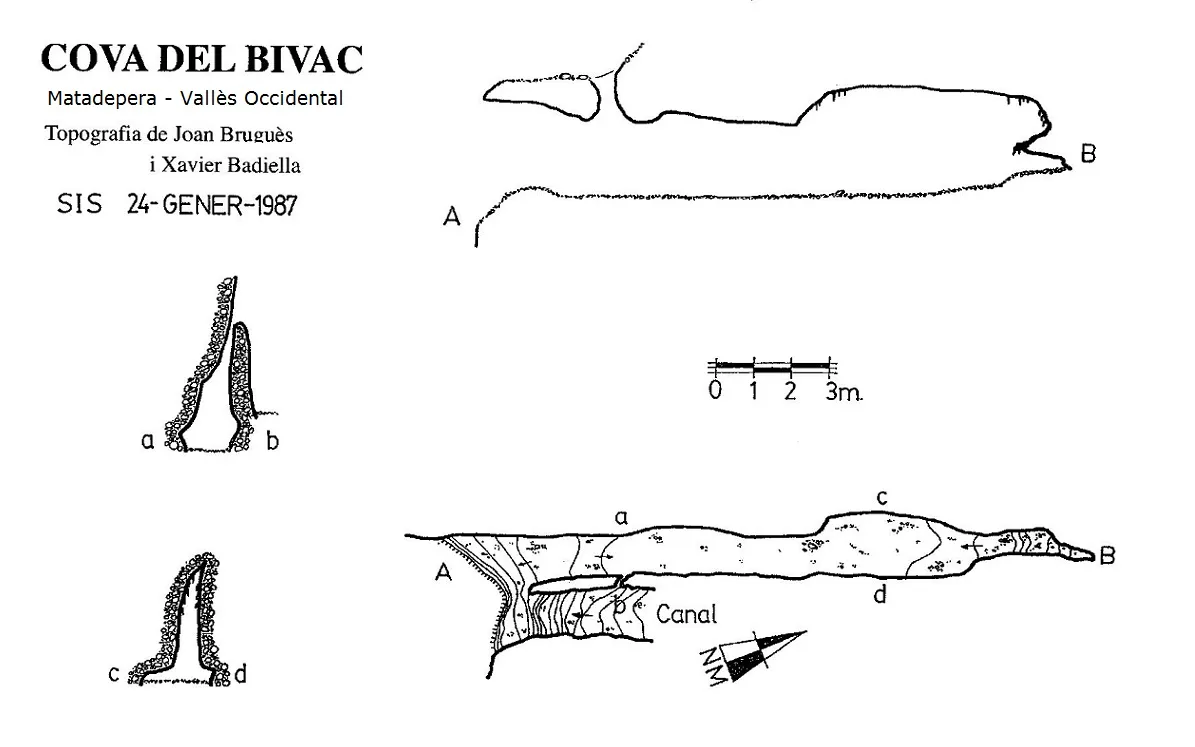
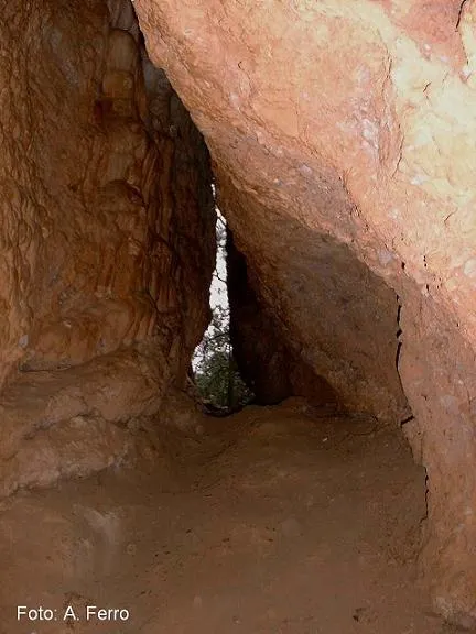
Cova del Bivac
0.2 km · NO
Matadepera (Vallès Occidental)
1 topo.
Cova del Manel
0.2 km · SO
Matadepera (Vallès Occidental)
1 topo.22 foto
Fonte: Espeleoindex (espeleoindex.com), modificato. CC BY-NC 4.0, https://creativecommons.org/licenses/by-nc/4.0/