
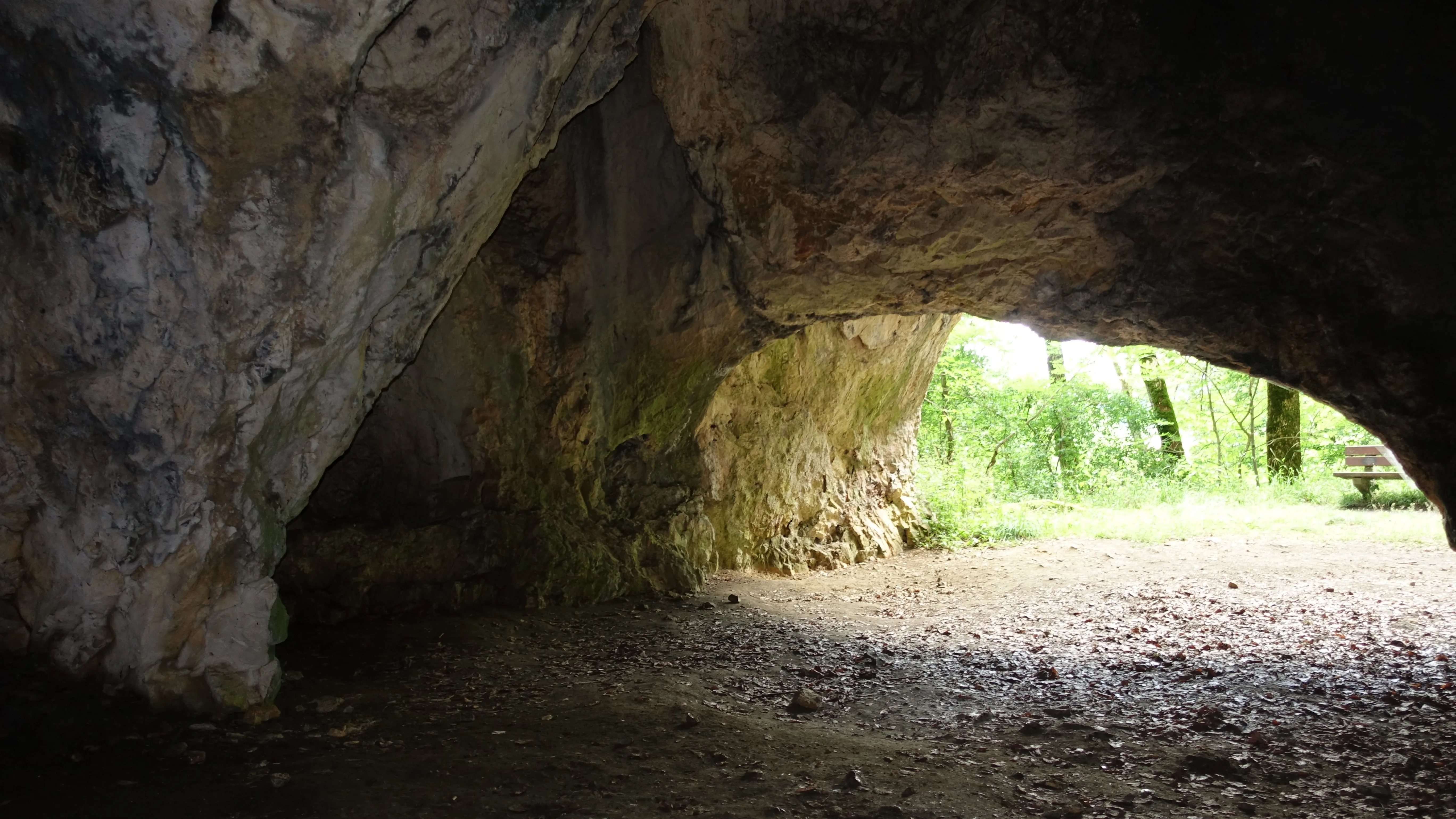
Sirgensteinhöhle
The Sirgenstein is a Stone Age dwelling site and a twenty-metre-high rock of the White Jura on the northwestern slope of the Ach valley.
EspeleoWorld
Sirgensteinhöhle
The Sirgenstein is a Stone Age dwelling site and a twenty-metre-high rock of the White Jura on the northwestern slope of the Ach valley.
Blaubeuren
السجل المحدّث
https://espeleoworld.com/ar/c/sirgensteinhoehle-blaubeuren
قد تتغير المعلومات. تحقق دائمًا من الإحداثيات والوصول والطقس وظروف الكهف قبل الانطلاق.
The Sirgenstein is a Stone Age dwelling site and a twenty-metre-high rock of the White Jura on the northwestern slope of the Ach valley.
الصور
© Franzfoto · CC BY-SA 4.0, https://creativecommons.org/licenses/by-sa/4.0/ · Wikimedia Commons · https://commons.wikimedia.org/wiki/File:Schelklingen_-_Sirgensteinh%C3%B6hle_im_Achtal.JPG
الوصف
الشكل
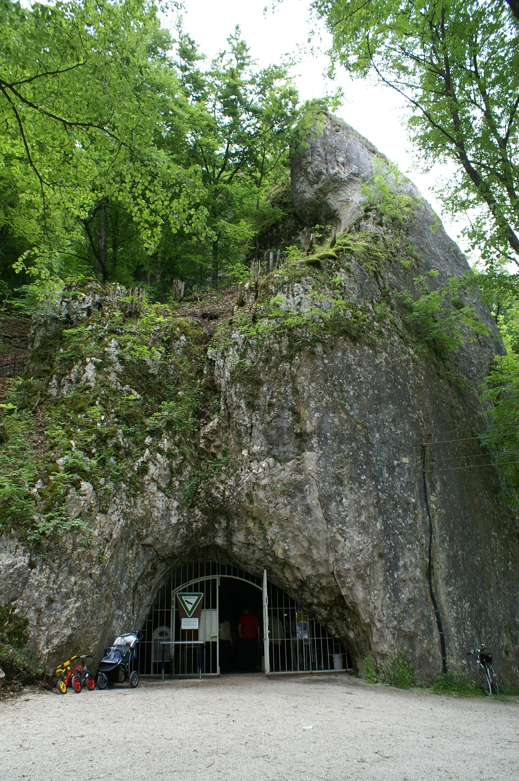
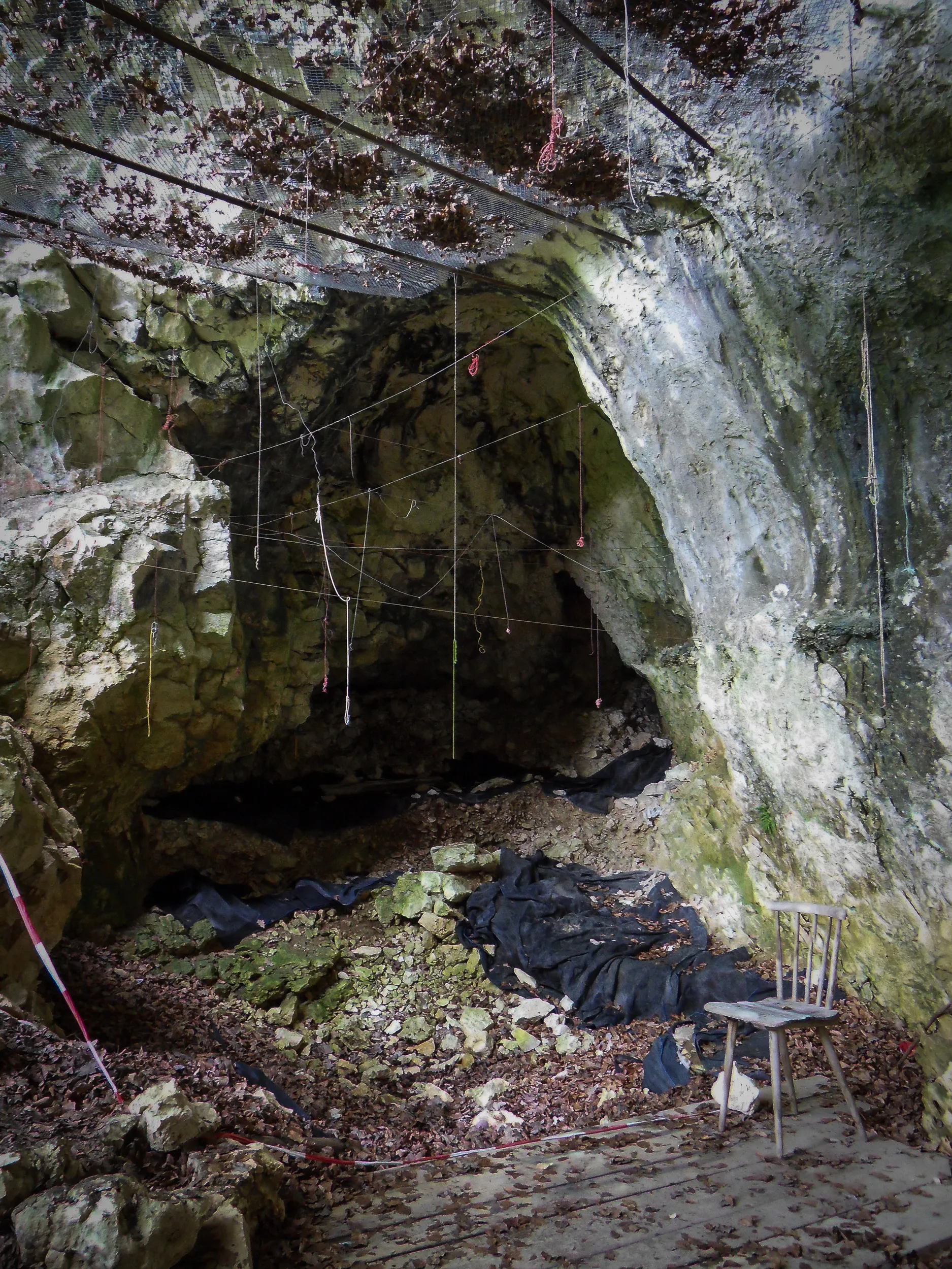
The Sirgenstein is a twenty-metre-high rock of the White Jura, situated at an elevation of 565 m above sea level. The karst cave is located in a sponge reef knoll roughly 35 metres above today's valley floor. The archaeological site is distinguished into the Sirgensteinhöhle, a Wohnhöhle (dwelling cave), as well as an abri on the south wall.
تفاصيل أخرى
The Sirgenstein is a Stone Age dwelling site. The castle remnant Sirgenstein survives from the Middle Ages.
التاريخ
In 2017 the Sirgensteinhöhle was inscribed into the UNESCO World Heritage as part of the World Heritage site Caves and Ice Age Art in the Swabian Jura.
تعليقات المستخدمين (0)
لا توجد تعليقات بعد.
كن أول من يشارك تجربته!
الاستكشافات المسجلة (0)
لا توجد استكشافات مسجلة بعد.
سجل زيارتك لهذا الكهف!
الكهوف القريبة

المصدر: Geotopkataster Baden-Württemberg (Regierungspräsidium Freiburg – LGRB) (services.lgrb-bw.de)، مع تعديلات. Data licence Germany – attribution – version 2.0 (dl-de/by-2-0), https://www.govdata.de/dl-de/by-2-0 Datenquelle: Regierungspräsidium Freiburg - LGRB, www.lgrb-bw.de · بيانات عام 2026 · المصدر: Wikidata – cave items (Germany) (www.wikidata.org)، مع تعديلات. CC0 1.0, https://creativecommons.org/publicdomain/zero/1.0/ Wikidata (CC0 1.0) · الأسماء · تم الحصول عليها في 2026-11-13 · بيانات عام 2026 · المصدر: German Wikipedia – article leads (cave descriptions) (de.wikipedia.org)، مع تعديلات. CC BY-SA 4.0, https://creativecommons.org/licenses/by-sa/4.0/ Wikipedia contributors (de.wikipedia.org), CC BY-SA 4.0 · النص بقلم Wikipedia contributors (Sirgensteinhöhle) · عدّلته Espeleoworld (توحيد الصيغة، ترجمة)؛ التعديل مرخّص بموجب CC BY-SA 4.0, https://creativecommons.org/licenses/by-sa/4.0/ · الوصف · تم الحصول عليها في 2026-11-13 · https://de.wikipedia.org/wiki/Sirgensteinh%C3%B6hle · بيانات عام 2026