
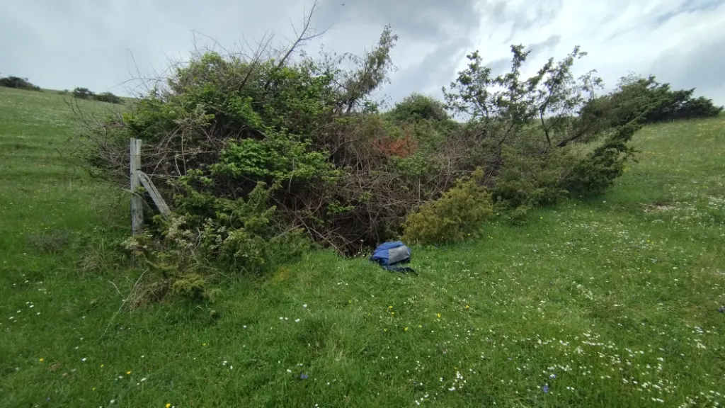
Pozzicoletto
A pit with a collapse chamber, with a surface opening about 2 m in diameter and a depth of about 5 m, whose underlying hall is almost oval in shape.
EspeleoWorld
Pozzicoletto
A pit with a collapse chamber, with a surface opening about 2 m in diameter and a depth of about 5 m, whose underlying hall is almost oval in shape.
Spoleto
الطول: 4 m · العمق: 8 m
السجل المحدّث
https://espeleoworld.com/ar/c/pozzicoletto-spoleto-perugia
قد تتغير المعلومات. تحقق دائمًا من الإحداثيات والوصول والطقس وظروف الكهف قبل الانطلاق.
A pit with a collapse chamber, with a surface opening about 2 m in diameter and a depth of about 5 m, whose underlying hall is almost oval in shape.
الصور
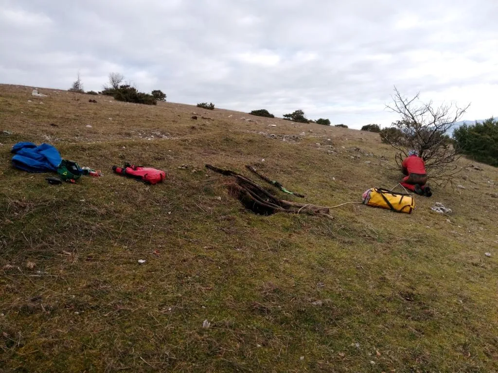
© Mauro Barbieri · LicenseRef-FUGS-media-per-item · Federazione Umbra Gruppi Speleologici (FUGS), Catasto Speleologico dell'Umbria · https://catasto.fugs.it/index.php?mod=caves&op=view&id=115
الوصف
الشكل
Pit with a chamber, a collapse structure with a surface opening about 2 m in diameter and a depth of about 5 m. The underlying hall has an almost oval shape. Trend: horizontal/vertical.
التقدم
Traversability: demanding; recommended period all year round. Rigging: necessary. Progression difficulty: pits. Hazards: dangerous access.
تفاصيل أخرى
Geology: MAI Maiolica - Upper Jurassic-Lower Cretaceous (Tithonian-Aptian).
تعليقات المستخدمين (0)
لا توجد تعليقات بعد.
كن أول من يشارك تجربته!
الاستكشافات المسجلة (0)
لا توجد استكشافات مسجلة بعد.
سجل زيارتك لهذا الكهف!
المراجع
LOTTI B. (1917) Il gruppo montuoso del Monte Martano MONTANARI R. (1940) I Monti Martani FAMIANI F. & CARDINALI R. (2018) Esplorazioni Monti Martani Gennaio-Febbraio 2018
الكهوف القريبة
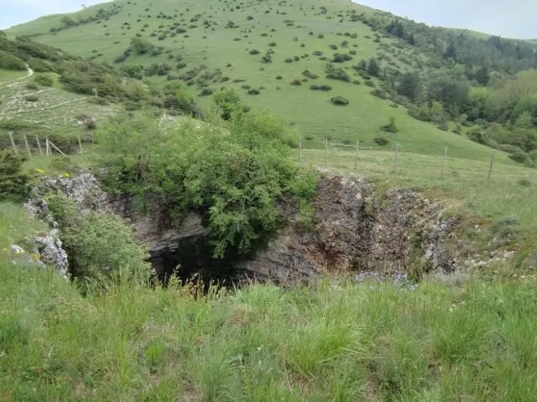
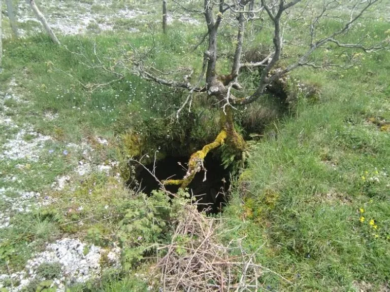
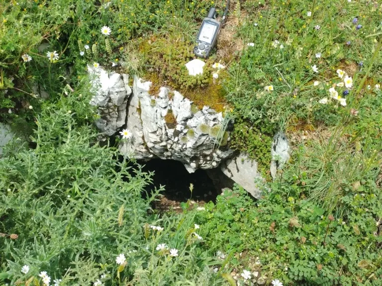

المصدر: Catasto Cavità Umbria (Federazione Umbra Gruppi Speleologici, FUGS) (catasto.fugs.it)، مع تعديلات. LicenseRef-FUGS-no-licence-stated Federazione Umbra Gruppi Speleologici (FUGS), Catasto Speleologico dell'Umbria · https://catasto.fugs.it/index.php?mod=caves&op=view&id=115 · بيانات عام 2025 · المصدر: Catasto Cavità Umbria (Federazione Umbra Gruppi Speleologici, FUGS) (catasto.fugs.it)، مع تعديلات. LicenseRef-FUGS-media-per-item Federazione Umbra Gruppi Speleologici (FUGS), Catasto Speleologico dell'Umbria · بيانات عام 2025