
H-11
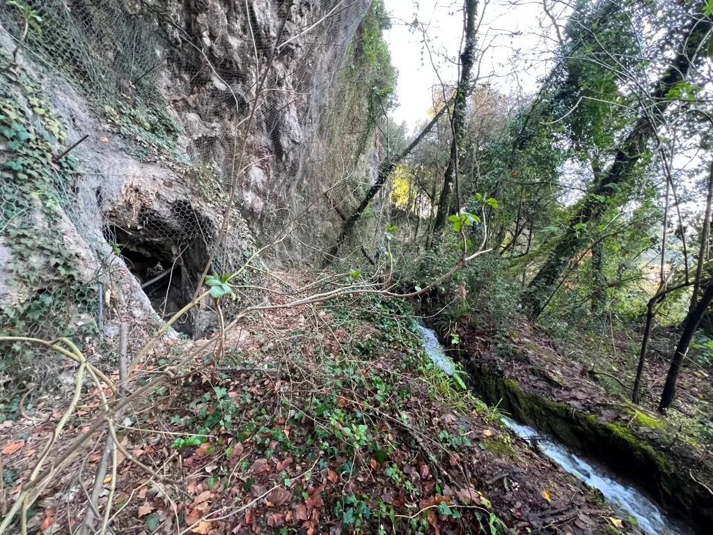
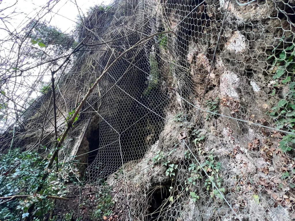
A slightly descending cavity that widens towards the bottom, with a man-sized entrance partially blocked by a partially broken containment net.
EspeleoWorld
H-11
A slightly descending cavity that widens towards the bottom, with a man-sized entrance partially blocked by a partially broken containment net.
Terni
الطول: 8 m · العمق: 4 m
السجل المحدّث
https://espeleoworld.com/ar/c/h-11-terni
قد تتغير المعلومات. تحقق دائمًا من الإحداثيات والوصول والطقس وظروف الكهف قبل الانطلاق.
A slightly descending cavity that widens towards the bottom, with a man-sized entrance partially blocked by a partially broken containment net.
الصور
© Mauro Barbieri · LicenseRef-FUGS-media-per-item · Federazione Umbra Gruppi Speleologici (FUGS), Catasto Speleologico dell'Umbria · https://catasto.fugs.it/index.php?mod=caves&op=view&id=795
الوصف
الشكل
The cavity is slightly descending and widens towards the bottom; the trend is descending.
Geology: among Quaternary (Pleistocene - Holocene) carbonate and travertine deposits; Travertine; massive, obliterated.
التقدم
Traversability: easy; recommended period all year round.
Hazards: dangerous access, landslides/rockfalls.
الأحياء
Environmental and biological protections: yes; Parco fluviale del Nera, Nature Conservation Restrictions (Natura 2000 Network), Hydrogeological Restrictions (PAI).
تعليقات المستخدمين (0)
لا توجد تعليقات بعد.
كن أول من يشارك تجربته!
الاستكشافات المسجلة (0)
لا توجد استكشافات مسجلة بعد.
سجل زيارتك لهذا الكهف!
الكهوف القريبة

المصدر: Catasto Cavità Umbria (Federazione Umbra Gruppi Speleologici, FUGS) (catasto.fugs.it)، مع تعديلات. LicenseRef-FUGS-no-licence-stated Federazione Umbra Gruppi Speleologici (FUGS), Catasto Speleologico dell'Umbria · https://catasto.fugs.it/index.php?mod=caves&op=view&id=795 · بيانات عام 2025 · المصدر: Catasto Cavità Umbria (Federazione Umbra Gruppi Speleologici, FUGS) (catasto.fugs.it)، مع تعديلات. LicenseRef-FUGS-media-per-item Federazione Umbra Gruppi Speleologici (FUGS), Catasto Speleologico dell'Umbria · بيانات عام 2025