
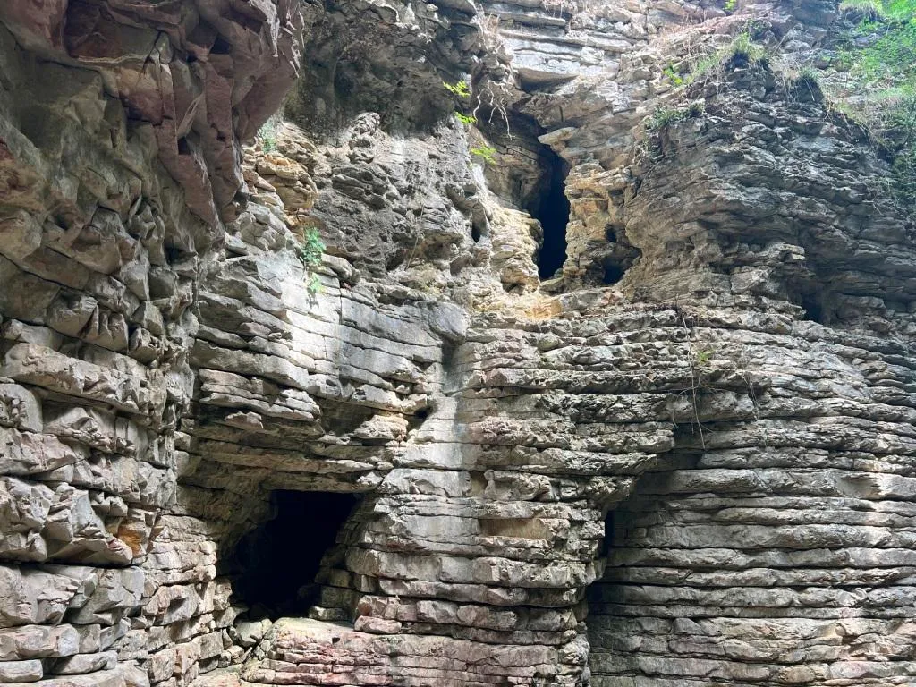
Grotta Fosso del Curso
Cavity in the Fosso del Curso with a surveyed development of 19.50 m and a positive height difference of 4.50 m, with an ascending/descending trend and demanding traversability.
EspeleoWorld
Grotta Fosso del Curso
Cavity in the Fosso del Curso with a surveyed development of 19.50 m and a positive height difference of 4.50 m, with an ascending/descending trend and demanding traversability.
San Venanzo
الطول: 23 m · العمق: 4 m
السجل المحدّث
https://espeleoworld.com/ar/c/grotta-fosso-del-curso-san-venanzo-terni
قد تتغير المعلومات. تحقق دائمًا من الإحداثيات والوصول والطقس وظروف الكهف قبل الانطلاق.
Cavity in the Fosso del Curso with a surveyed development of 19.50 m and a positive height difference of 4.50 m, with an ascending/descending trend and demanding traversability.
الصور
© Mauro Barbieri · LicenseRef-FUGS-media-per-item · Federazione Umbra Gruppi Speleologici (FUGS), Catasto Speleologico dell'Umbria · https://catasto.fugs.it/index.php?mod=caves&op=view&id=369
الوصف
الشكل
Cavity with a surveyed development of 19.50 m, with a positive height difference equal to 4.50 m. Trend: Ascending/Descending.
المياه
Water difficulties: Watercourses. Traversability: Demanding; recommended period No with precipitation. Hazards: Dangerous access, Landslides/collapses, Floods/inundations.
التقدم
Rigging: Temporary. Progression difficulty: Drops, Slides, Traverses, Ascents.
تفاصيل أخرى
Geology: SAA Scaglia Rossa - Upper Cretaceous-Middle Eocene (Turonian-Lutetian); Stratified micritic limestones; Stratified.
التاريخ
Notes on the name: It takes its name from the stream where it is located.
تعليقات المستخدمين (0)
لا توجد تعليقات بعد.
كن أول من يشارك تجربته!
الاستكشافات المسجلة (0)
لا توجد استكشافات مسجلة بعد.
سجل زيارتك لهذا الكهف!
الكهوف القريبة
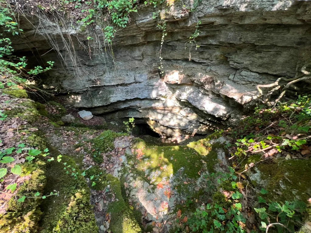
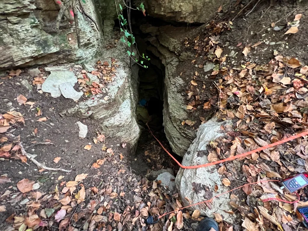
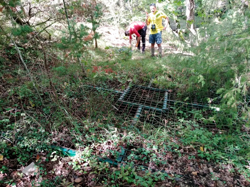

المصدر: Catasto Cavità Umbria (Federazione Umbra Gruppi Speleologici, FUGS) (catasto.fugs.it)، مع تعديلات. LicenseRef-FUGS-no-licence-stated Federazione Umbra Gruppi Speleologici (FUGS), Catasto Speleologico dell'Umbria · https://catasto.fugs.it/index.php?mod=caves&op=view&id=369 · بيانات عام 2025 · المصدر: Catasto Cavità Umbria (Federazione Umbra Gruppi Speleologici, FUGS) (catasto.fugs.it)، مع تعديلات. LicenseRef-FUGS-media-per-item Federazione Umbra Gruppi Speleologici (FUGS), Catasto Speleologico dell'Umbria · بيانات عام 2025